Broshniv-Osada night lights from space
Night Light of Broshniv-Osada (Ivano-Frankivsk) from space (Ukraine) Src. Average luminocity for 10x10km area is 2.8274% and for 50x50km: 0.7034%.
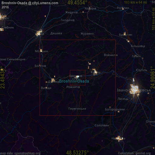
Analysis of Broshniv-Osada night lights 2016
Square area 10x10 km:
 1.04%
1.04%90-99
0.15%80-89
0%70-79
0%60-69
0.6%50-59
0%40-49
1.79%30-39
0%20-29
0.6%10-19
0%0-9
95.83%Square area 50x50 km:
0.04%90-99
0.05%80-89
0.09%70-79
0.08%60-69
0.19%50-59
0.17%40-49
0.19%30-39
0.12%20-29
0.05%10-19
0.08%0-9
98.94%Clear (daylight) street map image can be seen on geolist.org.
Map coordinates:
49° 27' 19.4" North, 23° 29' 39.7" East
48° 59' 46.4" North, 24° 11' 50.9" East
48° 31' 57.9" North, 24° 54' 2.2" East
Some cities around Broshniv-Osada sort by population:
• Ivano-Frankivsk
38.3 km =23.8 mi,  102°
102°
• Kalush
12.9 km =8 mi,  82°
82°
• Stryi
38.6 km =24 mi,  319°
319°
• Dolyna
14 km =8.7 mi,  259°
259°
• Bolekhiv
25.5 km =15.8 mi,  287°
287°
• Bohorodchany
32.6 km =20.3 mi,  130°
130°
• Morshyn
29.6 km =18.4 mi,  306°
306°
• Kosmach
30 km =18.6 mi,  155°
155°
711400 (p: 5,548)
Sources (retrieved 2019-11-25):
» Earth at Night: Flat Maps 2012, 2016