Kalush night lights from space
Night Light of Kalush (Ivano-Frankivsk) from space (Ukraine) Src. Average luminocity for 10x10km area is 5.7158% and for 50x50km: 1.355%.

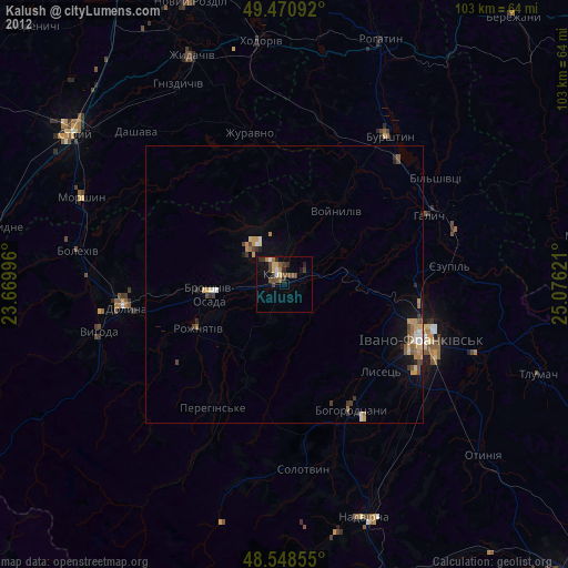
Analysis of Kalush night lights 2016
Square area 10x10 km:
 0%
0%90-99
1.19%80-89
0.6%70-79
0.6%60-69
0.89%50-59
1.49%40-49
1.19%30-39
1.19%20-29
0.6%10-19
0.89%0-9
91.37%Square area 50x50 km:
0.1%90-99
0.27%80-89
0.21%70-79
0.09%60-69
0.19%50-59
0.19%40-49
0.22%30-39
0.22%20-29
0.17%10-19
0.92%0-9
97.4%Clear (daylight) street map image can be seen on geolist.org.
Map coordinates:
49° 28' 15.3" North, 23° 40' 11.9" East
49° 0' 42.7" North, 24° 22' 23.1" East
48° 32' 54.8" North, 25° 4' 34.4" East
Some cities around Kalush sort by population:
• Ivano-Frankivsk
26.5 km =16.5 mi,  112°
112°
• Dolyna
26.9 km =16.7 mi,  260°
260°
• Burshtyn
33.1 km =20.6 mi,  34°
34°
• Tysmenytsya
36.5 km =22.7 mi, 109°
• Bohorodchany
25.8 km =16 mi,  152°
152°
• Halych
28.5 km =17.7 mi,  64°
64°
• Kosmach
29 km =18 mi,  180°
180°
• Broshniv-Osada
12.9 km =8 mi, 262°
707099 (p: 67,698)
Sources (retrieved 2019-11-25):
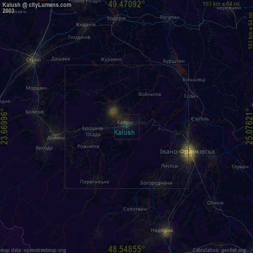
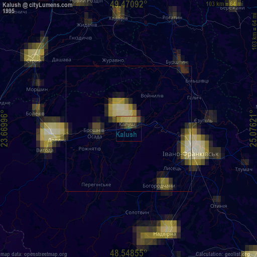
» NASA, Earths city lights 1995
» NASA city lights 2003
» Earth at Night: Flat Maps 2012, 2016