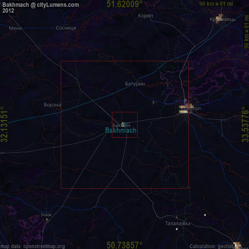
Bakhmach night lights from space
Night Light of Bakhmach (Chernihiv) from space (Ukraine) Src. Average luminocity for 10x10km area is 1.0227% and for 50x50km: 0.1948%.
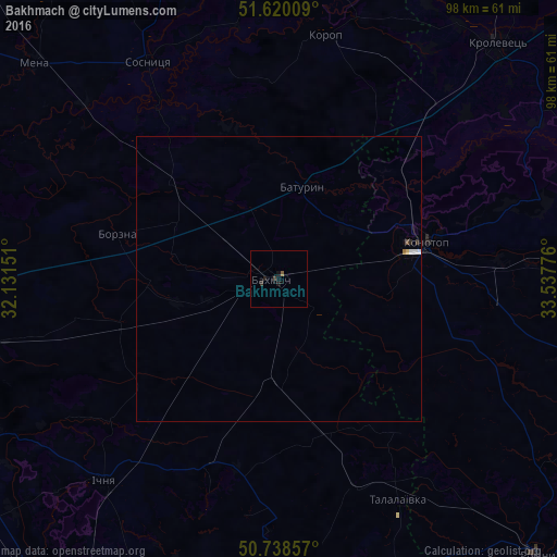
Analysis of Bakhmach night lights 2016
Square area 10x10 km:
 0%
0%90-99
0%80-89
0%70-79
0%60-69
0%50-59
0.53%40-49
0%30-39
0.94%20-29
0.13%10-19
2.14%0-9
96.26%Square area 50x50 km:
0.05%90-99
0.03%80-89
0.02%70-79
0%60-69
0.02%50-59
0.02%40-49
0.02%30-39
0.06%20-29
0.03%10-19
0.09%0-9
99.66%Clear (daylight) street map image can be seen on geolist.org.
Map coordinates:
51° 37' 12.3" North, 32° 7' 53.4" East
51° 10' 53.2" North, 32° 50' 4.7" East
50° 44' 18.9" North, 33° 32' 15.9" East
Some cities around Bakhmach sort by population:
• Konotop
26.5 km =16.5 mi,  75°
75°
• Romny
65.6 km =40.8 mi,  136°
136°
• Krolevets’
55.8 km =34.7 mi,  43°
43°
• Mena
57.3 km =35.6 mi,  311°
311°
• Ichnya
47 km =29.2 mi,  220°
220°
• Borzna
29.5 km =18.3 mi,  285°
285°
• Sosnytsya
44.6 km =27.7 mi,  328°
328°
• Korop
43.7 km =27.2 mi,  11°
11°
712967 (p: 23,379)
Sources (retrieved 2019-11-25):
» Earth at Night: Flat Maps 2012, 2016