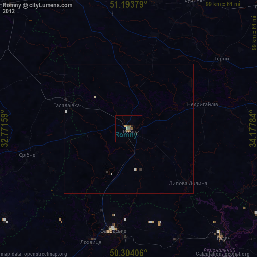
Romny night lights from space
Night Light of Romny (Sumy) from space (Ukraine) Src. Average luminocity for 10x10km area is 0.7299% and for 50x50km: 0.115%.
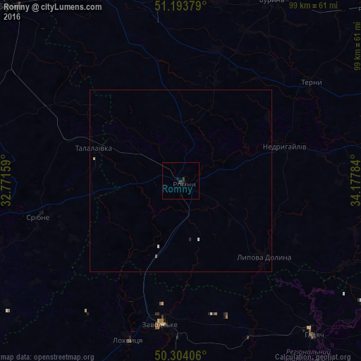
Analysis of Romny night lights 2016
Square area 10x10 km:
 0%
0%90-99
0%80-89
0%70-79
0%60-69
0%50-59
0%40-49
0%30-39
1.2%20-29
0.4%10-19
1.2%0-9
97.19%Square area 50x50 km:
0.01%90-99
0.03%80-89
0.02%70-79
0%60-69
0.01%50-59
0.01%40-49
0%30-39
0.05%20-29
0.04%10-19
0.05%0-9
99.78%Clear (daylight) street map image can be seen on geolist.org.
Map coordinates:
51° 11' 37.6" North, 32° 46' 17.7" East
50° 45' 3.7" North, 33° 28' 29" East
50° 18' 14.6" North, 34° 10' 40.2" East
Some cities around Romny sort by population:
• Konotop
57.6 km =35.8 mi,  340°
340°
• Bakhmach
65.6 km =40.8 mi,  316°
316°
• Hadyach
55.8 km =34.7 mi,  139°
139°
• Lokhvytsya
45.2 km =28.1 mi,  199°
199°
• Buryn’
55.9 km =34.7 mi,  26°
26°
• Varva
60.4 km =37.5 mi,  241°
241°
• Nedryhayliv
29.7 km =18.5 mi,  71°
71°
• Lypova Dolyna
30.8 km =19.1 mi,  132°
132°
695464 (p: 48,570)
Sources (retrieved 2019-11-25):
» Earth at Night: Flat Maps 2012, 2016