Kivsharivka night lights from space
Night Light of Kivsharivka (Kharkiv) from space (Ukraine) Src. Average luminocity for 10x10km area is 0.479% and for 50x50km: 0.1161%.
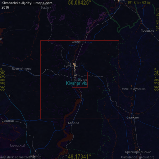
Analysis of Kivsharivka night lights 2016
Square area 10x10 km:
 0%
0%90-99
0%80-89
0%70-79
0%60-69
0%50-59
0%40-49
0.56%30-39
0%20-29
0.56%10-19
0%0-9
98.88%Square area 50x50 km:
0%90-99
0%80-89
0%70-79
0%60-69
0.02%50-59
0.03%40-49
0.06%30-39
0.06%20-29
0.07%10-19
0.06%0-9
99.7%Clear (daylight) street map image can be seen on geolist.org.
Map coordinates:
50° 5' 3.3" North, 36° 59' 6.3" East
49° 37' 51.5" North, 37° 41' 17.6" East
49° 10' 24.3" North, 38° 23' 28.8" East
Some cities around Kivsharivka sort by population:
• Izyum
56.7 km =35.2 mi,  214°
214°
• Kupjansk
10.3 km =6.4 mi,  329°
329°
• Balakliya
62.6 km =38.9 mi,  252°
252°
• Svatove
41.4 km =25.7 mi,  126°
126°
• Shevchenkove
37.7 km =23.4 mi,  281°
281°
• Urazovo, RU
56.3 km =35 mi,  26°
26°
• Borova
28.6 km =17.8 mi,  189°
189°
• Savyntsi
51.8 km =32.2 mi,  240°
240°
704608 (p: 19,738)
Sources (retrieved 2019-11-25):
» Earth at Night: Flat Maps 2012, 2016