Balakliya night lights from space
Night Light of Balakliya (Kharkiv) from space (Ukraine) Src. Average luminocity for 10x10km area is 2.1905% and for 50x50km: 0.4375%.
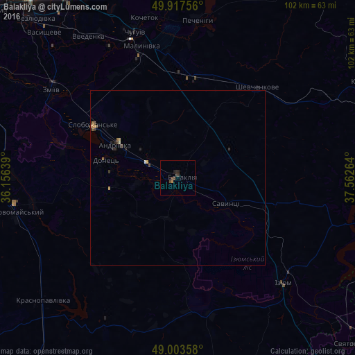
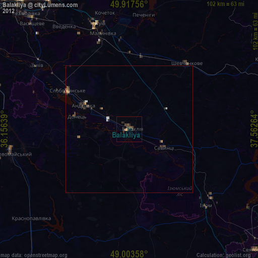
Analysis of Balakliya night lights 2016
Square area 10x10 km:
 0%
0%90-99
0%80-89
0%70-79
0.56%60-69
0%50-59
0%40-49
1.68%30-39
1.54%20-29
0.84%10-19
0.84%0-9
94.54%Square area 50x50 km:
0%90-99
0.05%80-89
0.02%70-79
0.1%60-69
0.08%50-59
0.06%40-49
0.11%30-39
0.17%20-29
0.17%10-19
0.07%0-9
99.17%Clear (daylight) street map image can be seen on geolist.org.
Map coordinates:
49° 55' 3.2" North, 36° 9' 23" East
49° 27' 45.7" North, 36° 51' 34.2" East
49° 0' 12.9" North, 37° 33' 45.5" East
Some cities around Balakliya sort by population:
• Izyum
39.9 km =24.8 mi,  135°
135°
• Chuhuyiv
43.3 km =26.9 mi,  343°
343°
• Zmiyiv
43.8 km =27.2 mi,  302°
302°
• Slobozhans’ke
28.3 km =17.6 mi, 301°
• Malynivka
40.4 km =25.1 mi,  347°
347°
• Shevchenkove
34.4 km =21.4 mi,  41°
41°
• Eskhar
41.8 km =26 mi,  332°
332°
• Savyntsi
16.1 km =10 mi,  114°
114°
712926 (p: 31,156)
Sources (retrieved 2019-11-25):
» Earth at Night: Flat Maps 2012, 2016