Urazovo night lights from space
Night Light of Urazovo (Belgorod Oblast) from space (Russia) Src. Average luminocity for 10x10km area is 0.5588% and for 50x50km: 0.7694%.
Analysis of Urazovo night lights 2016
Square area 10x10 km:
 0%
0%90-99
0%80-89
0%70-79
0%60-69
0%50-59
0.14%40-49
0.84%30-39
0.14%20-29
0%10-19
0%0-9
98.88%Square area 50x50 km:
0.03%90-99
0.07%80-89
0.17%70-79
0.14%60-69
0.08%50-59
0.09%40-49
0.16%30-39
0.07%20-29
0.1%10-19
0.42%0-9
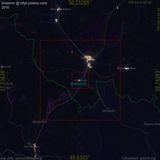
98.68%Clear (daylight) street map image can be seen on geolist.org.
Map coordinates:
50° 31' 57.5" North, 37° 20' 11" East
50° 5' 1" North, 38° 2' 22.2" East
49° 37' 49.1" North, 38° 44' 33.5" East
Some cities around Urazovo sort by population:
• Valuyki
14.2 km =8.8 mi,  19°
19°
• Kupjansk, UA
51.4 km =31.9 mi,  216°
216°
• Kivsharivka, UA
56.3 km =35 mi,  206°
206°
• Svatove, UA
75.3 km =46.8 mi,  173°
173°
• Volokonovka
46.2 km =28.7 mi,  343°
343°
• Krasnogvardeyskoye
68 km =42.3 mi, 22°
• Veydelevka
30.2 km =18.8 mi,  75°
75°
• Shevchenkove, UA
75.5 km =46.9 mi,  235°
235°
478781 (p: 6,966)
Sources (retrieved 2019-11-25):
» Earth at Night: Flat Maps 2012, 2016