Svatove night lights from space
Night Light of Svatove (Luhansk) from space (Ukraine) Src. Average luminocity for 10x10km area is 0.2326% and for 50x50km: 0.0181%.
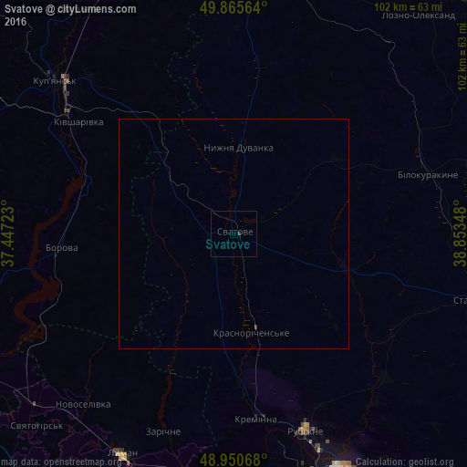
Analysis of Svatove night lights 2016
Square area 10x10 km:
 0%
0%90-99
0%80-89
0%70-79
0%60-69
0%50-59
0%40-49
0%30-39
0.53%20-29
0%10-19
0%0-9
99.47%Square area 50x50 km:
0%90-99
0%80-89
0%70-79
0%60-69
0%50-59
0%40-49
0%30-39
0.04%20-29
0%10-19
0%0-9
99.96%Clear (daylight) street map image can be seen on geolist.org.
Map coordinates:
49° 51' 56.3" North, 37° 26' 50" East
49° 24' 37" North, 38° 9' 1.3" East
48° 57' 2.4" North, 38° 51' 12.5" East
Some cities around Svatove sort by population:
• Rubizhne
47.3 km =29.4 mi,  159°
159°
• Kupjansk
51 km =31.7 mi,  310°
310°
• Lyman
53.3 km =33.1 mi,  208°
208°
• Kreminna
40.4 km =25.1 mi,  173°
173°
• Kivsharivka
41.4 km =25.7 mi, 306°
• Pryvillya
45.4 km =28.2 mi, 165°
• Bilokurakyne
44.1 km =27.4 mi,  71°
71°
• Borova
38.5 km =23.9 mi,  264°
264°
692118 (p: 18,770)
Sources (retrieved 2019-11-25):
» Earth at Night: Flat Maps 2012, 2016