Shevchenkove night lights from space
Night Light of Shevchenkove (Kharkiv) from space (Ukraine) Src. Average luminocity for 10x10km area is 0.0561% and for 50x50km: 0.0678%.
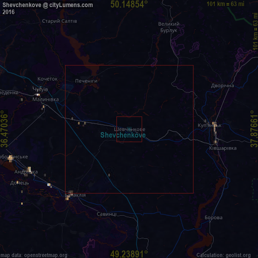
Analysis of Shevchenkove night lights 2016
Square area 10x10 km:
 0%
0%90-99
0%80-89
0%70-79
0%60-69
0%50-59
0%40-49
0%30-39
0%20-29
0%10-19
0.27%0-9
99.73%Square area 50x50 km:
0%90-99
0%80-89
0%70-79
0%60-69
0%50-59
0.02%40-49
0%30-39
0.08%20-29
0.03%10-19
0.05%0-9
99.81%Clear (daylight) street map image can be seen on geolist.org.
Map coordinates:
50° 8' 54.7" North, 36° 28' 13.3" East
49° 41' 45.1" North, 37° 10' 24.5" East
49° 14' 20.1" North, 37° 52' 35.8" East
Some cities around Shevchenkove sort by population:
• Chuhuyiv
38.2 km =23.7 mi,  294°
294°
• Kupjansk
31.8 km =19.8 mi,  87°
87°
• Balakliya
34.4 km =21.4 mi,  221°
221°
• Kivsharivka
37.7 km =23.4 mi,  101°
101°
• Malynivka
34.4 km =21.4 mi, 293°
• Borova
47.9 km =29.8 mi,  137°
137°
• Eskhar
43.3 km =26.9 mi,  284°
284°
• Savyntsi
33.6 km =20.9 mi,  193°
193°
694137 (p: 7,090)
Sources (retrieved 2019-11-25):
» Earth at Night: Flat Maps 2012, 2016