Dolyna night lights from space
Night Light of Dolyna (Ivano-Frankivsk) from space (Ukraine) Src. Average luminocity for 10x10km area is 3.5497% and for 50x50km: 0.5386%.
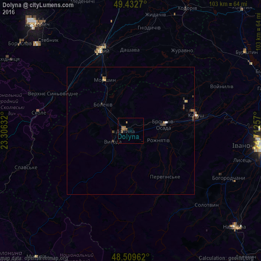

Analysis of Dolyna night lights 2016
Square area 10x10 km:
 0%
0%90-99
0%80-89
0%70-79
0.14%60-69
3.27%50-59
1.42%40-49
0.28%30-39
0%20-29
0%10-19
0%0-9
94.89%Square area 50x50 km:
0.04%90-99
0.01%80-89
0.06%70-79
0.06%60-69
0.16%50-59
0.15%40-49
0.17%30-39
0.08%20-29
0.04%10-19
0.06%0-9
99.18%Clear (daylight) street map image can be seen on geolist.org.
Map coordinates:
49° 25' 57.7" North, 23° 18' 22.8" East
48° 58' 23.9" North, 24° 0' 34" East
48° 30' 34.6" North, 24° 42' 45.3" East
Some cities around Dolyna sort by population:
• Kalush
26.9 km =16.7 mi,  80°
80°
• Stryi
34 km =21.1 mi,  340°
340°
• Bolekhiv
14.8 km =9.2 mi,  314°
314°
• Bohorodchany
42.9 km =26.7 mi,  115°
115°
• Skole
36.9 km =22.9 mi,  281°
281°
• Morshyn
22.7 km =14.1 mi,  333°
333°
• Kosmach
36 km =22.4 mi,  133°
133°
• Broshniv-Osada
14 km =8.7 mi, 79°
709755 (p: 20,696)
Sources (retrieved 2019-11-25):
» Earth at Night: Flat Maps 2012, 2016