Kolomyia night lights from space
Night Light of Kolomyia (Ivano-Frankivsk) from space (Ukraine) Src. Average luminocity for 10x10km area is 11.7813% and for 50x50km: 0.4818%.
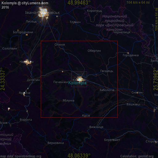
Analysis of Kolomyia night lights 2016
Square area 10x10 km:
 1.19%
1.19%90-99
1.79%80-89
0.6%70-79
1.79%60-69
1.34%50-59
1.19%40-49
4.32%30-39
1.64%20-29
0.45%10-19
2.53%0-9
83.18%Square area 50x50 km:
0.05%90-99
0.07%80-89
0.02%70-79
0.07%60-69
0.05%50-59
0.07%40-49
0.17%30-39
0.06%20-29
0.02%10-19
0.11%0-9
99.32%Clear (daylight) street map image can be seen on geolist.org.
Map coordinates:
48° 59' 40.7" North, 24° 20' 0.1" East
48° 31' 52.1" North, 25° 2' 11.4" East
48° 3' 48.2" North, 25° 44' 22.6" East
Some cities around Kolomyia sort by population:
• Kosiv
24.9 km =15.5 mi,  169°
169°
• Delyatyn
30.3 km =18.8 mi,  268°
268°
• Lanchyn
20.8 km =12.9 mi,  278°
278°
• Kosmach
27.5 km =17.1 mi,  215°
215°
• Rozhniv
23.1 km =14.4 mi,  142°
142°
• Otyniya
26.3 km =16.3 mi,  330°
330°
• Pechenizhyn
10.6 km =6.6 mi,  260°
260°
• Stari Kuty
30.6 km =19 mi,  160°
160°
705392 (p: 61,781)
Sources (retrieved 2019-11-25):
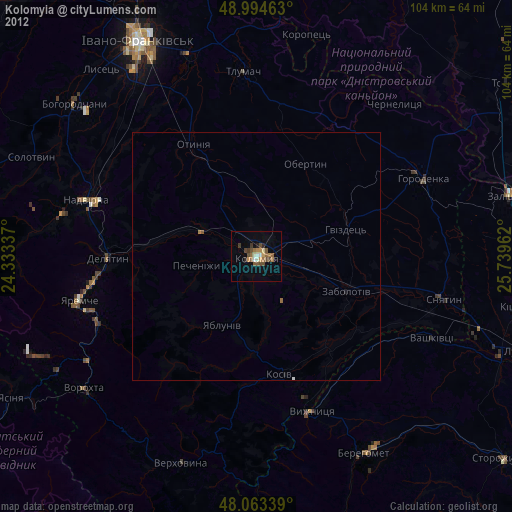
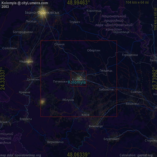
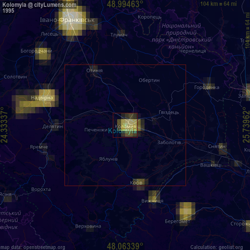
» NASA, Earths city lights 1995
» NASA city lights 2003
» Earth at Night: Flat Maps 2012, 2016