Dobropillya night lights from space
Night Light of Dobropillya (Donetsk) from space (Ukraine) Src. Average luminocity for 10x10km area is 5.0668% and for 50x50km: 1.9328%.
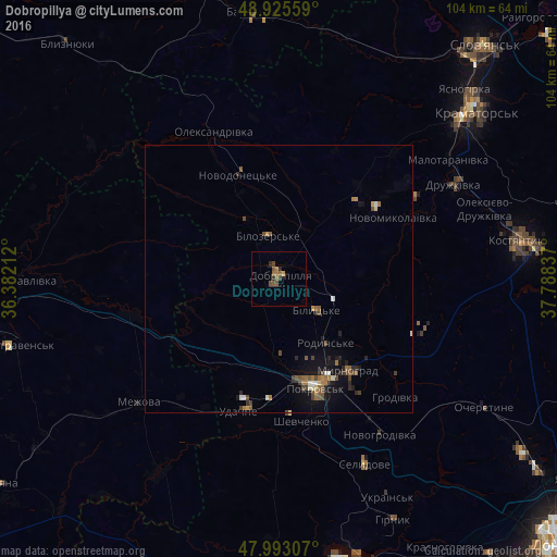
Analysis of Dobropillya night lights 2016
Square area 10x10 km:
 0%
0%90-99
0%80-89
0%70-79
0.57%60-69
2.27%50-59
1.99%40-49
1.42%30-39
0.99%20-29
1.28%10-19
0%0-9
91.48%Square area 50x50 km:
0.08%90-99
0.23%80-89
0.1%70-79
0.15%60-69
0.51%50-59
0.45%40-49
0.53%30-39
0.22%20-29
0.47%10-19
1.14%0-9
96.14%Clear (daylight) street map image can be seen on geolist.org.
Map coordinates:
48° 55' 32.1" North, 36° 22' 55.6" East
48° 27' 41.3" North, 37° 5' 6.9" East
47° 59' 35.1" North, 37° 47' 18.1" East
Some cities around Dobropillya sort by population:
• Pokrovsk
21 km =13 mi,  161°
161°
• Druzhkivka
39.2 km =24.4 mi,  61°
61°
• Myrnohrad
21.7 km =13.5 mi,  143°
143°
• Selydove
38.4 km =23.9 mi, 155°
• Rodyns’ke
15.1 km =9.4 mi, 143°
• Bilyts’ke
9.4 km =5.8 mi,  130°
130°
• Mezhova
34.7 km =21.6 mi,  228°
228°
• Novodonets’ke
20.7 km =12.9 mi,  339°
339°
709900 (p: 35,977)
Sources (retrieved 2019-11-25):
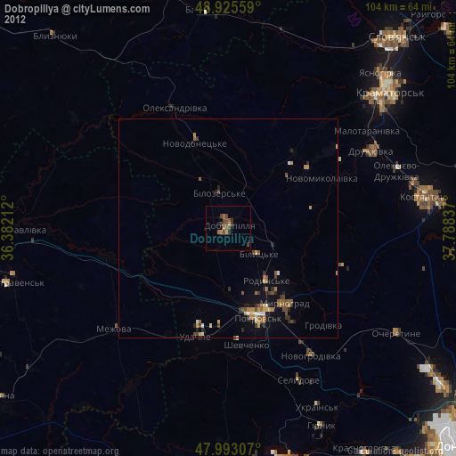
» Earth at Night: Flat Maps 2012, 2016