Novodonets’ke night lights from space
Night Light of Novodonets’ke (Donetsk) from space (Ukraine) Src. Average luminocity for 10x10km area is 0.5298% and for 50x50km: 0.4117%.
Analysis of Novodonets’ke night lights 2016
Square area 10x10 km:
 0%
0%90-99
0%80-89
0%70-79
0%60-69
0%50-59
0.6%40-49
0%30-39
0.15%20-29
0.45%10-19
0%0-9
98.81%Square area 50x50 km:
0.02%90-99
0.01%80-89
0%70-79
0.1%60-69
0.13%50-59
0.14%40-49
0.13%30-39
0.05%20-29
0.07%10-19
0.05%0-9
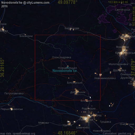
99.33%Clear (daylight) street map image can be seen on geolist.org.
Map coordinates:
49° 5' 52" North, 36° 16' 53.9" East
48° 38' 6.9" North, 36° 59' 5.2" East
48° 10' 6.5" North, 37° 41' 16.4" East
Some cities around Novodonets’ke sort by population:
• Kramators’k
43.1 km =26.8 mi,  76°
76°
• Pokrovsk
41.7 km =25.9 mi,  160°
160°
• Druzhkivka
41.7 km =25.9 mi,  90°
90°
• Myrnohrad
42 km =26.1 mi,  150°
150°
• Dobropillya
20.7 km =12.9 mi, 159°
• Barvinkove
30.6 km =19 mi,  4°
4°
• Rodyns’ke
35.5 km =22.1 mi, 152°
• Bilyts’ke
29.3 km =18.2 mi, 150°
699617 (p: 5,895)
Sources (retrieved 2019-11-25):
» Earth at Night: Flat Maps 2012, 2016