Selydove night lights from space
Night Light of Selydove (Donetsk) from space (Ukraine) Src. Average luminocity for 10x10km area is 2.2589% and for 50x50km: 2.3705%.
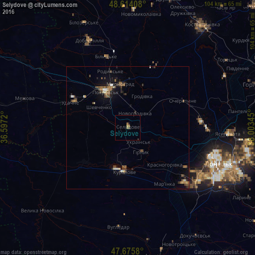
Analysis of Selydove night lights 2016
Square area 10x10 km:
 0%
0%90-99
0%80-89
0.45%70-79
0.15%60-69
1.79%50-59
0%40-49
0.6%30-39
0.3%20-29
0.15%10-19
0.45%0-9
96.13%Square area 50x50 km:
0.12%90-99
0.32%80-89
0.18%70-79
0.1%60-69
0.52%50-59
0.51%40-49
0.57%30-39
0.41%20-29
0.5%10-19
1.48%0-9
95.29%Clear (daylight) street map image can be seen on geolist.org.
Map coordinates:
48° 36' 50.7" North, 36° 35' 49.9" East
48° 8' 49.5" North, 37° 18' 1.2" East
47° 40' 32.9" North, 38° 0' 12.4" East
Some cities around Selydove sort by population:
• Pokrovsk
17.6 km =10.9 mi,  328°
328°
• Myrnohrad
17.8 km =11.1 mi,  350°
350°
• Dobropillya
38.4 km =23.9 mi,  335°
335°
• Avdiyivka
32.8 km =20.4 mi,  91°
91°
• Kurakhovo
18 km =11.2 mi,  184°
184°
• Rodyns’ke
23.8 km =14.8 mi, 342°
• Mar'yinka
27.1 km =16.8 mi,  145°
145°
• Bilyts’ke
30.2 km =18.8 mi, 342°
694677 (p: 24,269)
Sources (retrieved 2019-11-25):
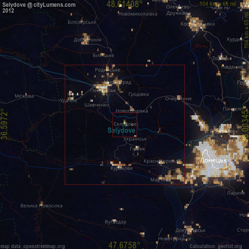
» Earth at Night: Flat Maps 2012, 2016