Myrnohrad night lights from space
Night Light of Myrnohrad (Donetsk) from space (Ukraine) Src. Average luminocity for 10x10km area is 13.0227% and for 50x50km: 1.9352%.
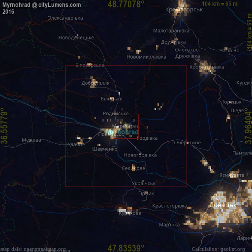
Analysis of Myrnohrad night lights 2016
Square area 10x10 km:
 0%
0%90-99
1.56%80-89
0.14%70-79
0.28%60-69
4.26%50-59
2.27%40-49
3.55%30-39
1.28%20-29
6.96%10-19
13.78%0-9
65.91%Square area 50x50 km:
0.08%90-99
0.21%80-89
0.1%70-79
0.09%60-69
0.55%50-59
0.43%40-49
0.5%30-39
0.28%20-29
0.49%10-19
1.18%0-9
96.08%Clear (daylight) street map image can be seen on geolist.org.
Map coordinates:
48° 46' 14.8" North, 36° 33' 28" East
48° 18' 18.8" North, 37° 15' 39.3" East
47° 50' 7.4" North, 37° 57' 50.5" East
Some cities around Myrnohrad sort by population:
• Pokrovsk
6.8 km =4.2 mi,  247°
247°
• Dobropillya
21.7 km =13.5 mi,  323°
323°
• Avdiyivka
40.1 km =24.9 mi,  117°
117°
• Selydove
17.8 km =11.1 mi,  170°
170°
• Kurakhovo
35.6 km =22.1 mi,  177°
177°
• Rodyns’ke
6.6 km =4.1 mi, 322°
• Bilyts’ke
12.7 km =7.9 mi,  332°
332°
• Mezhova
39.4 km =24.5 mi,  261°
261°
710035 (p: 49,646)
Sources (retrieved 2019-11-25):
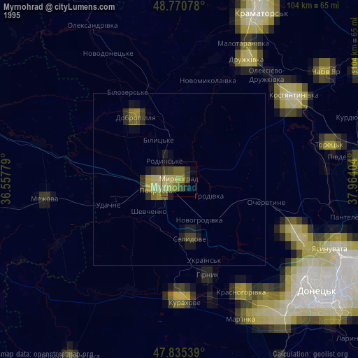
» NASA, Earths city lights 1995
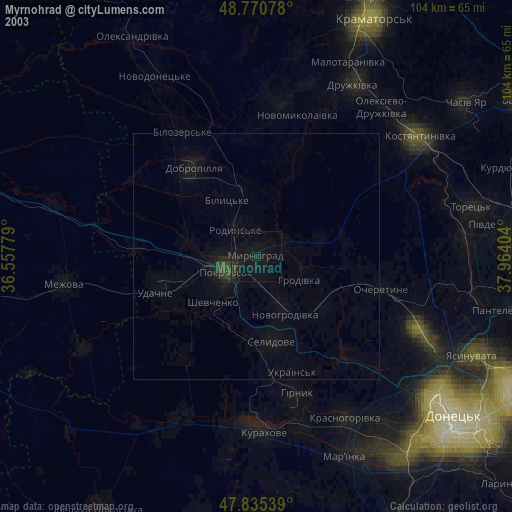
» NASA city lights 2003
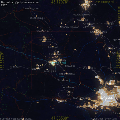
» Earth at Night: Flat Maps 2012, 2016