Krasnohrad night lights from space
Night Light of Krasnohrad (Kharkiv) from space (Ukraine) Src. Average luminocity for 10x10km area is 3.5107% and for 50x50km: 0.2627%.
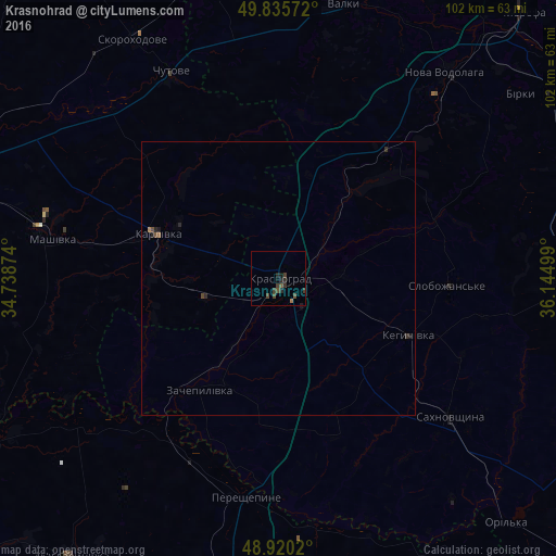
Analysis of Krasnohrad night lights 2016
Square area 10x10 km:
 0%
0%90-99
0%80-89
0%70-79
0%60-69
0.53%50-59
0.53%40-49
2.54%30-39
2.27%20-29
2.14%10-19
0.8%0-9
91.18%Square area 50x50 km:
0%90-99
0%80-89
0%70-79
0.01%60-69
0.06%50-59
0.04%40-49
0.15%30-39
0.12%20-29
0.2%10-19
0.09%0-9
99.33%Clear (daylight) street map image can be seen on geolist.org.
Map coordinates:
49° 50' 8.6" North, 34° 44' 19.5" East
49° 22' 48.3" North, 35° 26' 30.7" East
48° 55' 12.7" North, 36° 8' 42" East
Some cities around Krasnohrad sort by population:
• Pervomays’kyy
55.9 km =34.7 mi,  89°
89°
• Karlivka
24.1 km =15 mi,  290°
290°
• Nova Vodolaha
48.5 km =30.1 mi,  39°
39°
• Valky
52.2 km =32.4 mi,  13°
13°
• Sakhnovshchyna
40.2 km =25 mi,  129°
129°
• Mahdalynivka
63.8 km =39.6 mi,  216°
216°
• Kehychivka
25.4 km =15.8 mi,  114°
114°
• Chutove
41.8 km =26 mi,  331°
331°
704388 (p: 21,426)
Sources (retrieved 2019-11-25):
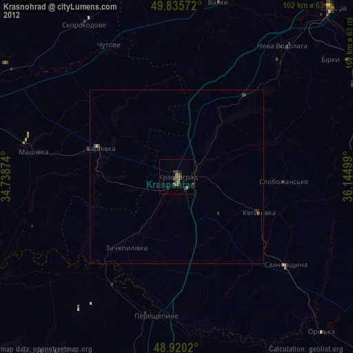
» Earth at Night: Flat Maps 2012, 2016