Stryi night lights from space
Night Light of Stryi (Lviv) from space (Ukraine) Src. Average luminocity for 10x10km area is 8.9572% and for 50x50km: 0.9172%.
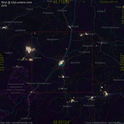
Analysis of Stryi night lights 2016
Square area 10x10 km:
 0.27%
0.27%90-99
1.34%80-89
2.41%70-79
2.41%60-69
0%50-59
1.07%40-49
1.07%30-39
0.53%20-29
0.27%10-19
1.47%0-9
89.17%Square area 50x50 km:
0.02%90-99
0.07%80-89
0.13%70-79
0.15%60-69
0.15%50-59
0.2%40-49
0.18%30-39
0.16%20-29
0.1%10-19
0.28%0-9
98.56%Clear (daylight) street map image can be seen on geolist.org.
Map coordinates:
49° 43' 8.3" North, 23° 9' 10.7" East
49° 15' 44" North, 23° 51' 21.9" East
48° 48' 4.5" North, 24° 33' 33.2" East
Some cities around Stryi sort by population:
• Drohobych
27.2 km =16.9 mi,  290°
290°
• Boryslav
30.9 km =19.2 mi,  275°
275°
• Truskavets’
25.4 km =15.8 mi,  274°
274°
• Dolyna
34 km =21.1 mi,  160°
160°
• Stebnyk
21.5 km =13.4 mi, 279°
• Mykolaiv
30.5 km =19 mi,  17°
17°
• Bolekhiv
21.8 km =13.5 mi,  178°
178°
• Morshyn
11.8 km =7.3 mi,  174°
174°
692372 (p: 61,404)
Sources (retrieved 2019-11-25):
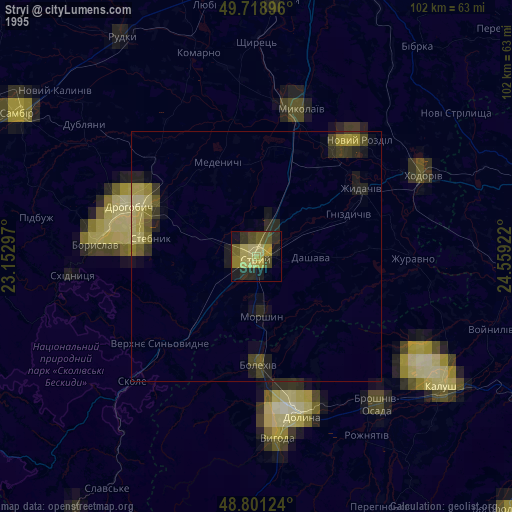
» NASA, Earths city lights 1995
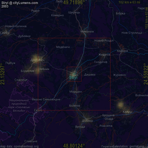
» NASA city lights 2003
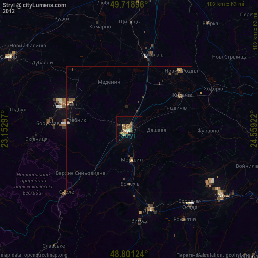
» Earth at Night: Flat Maps 2012, 2016