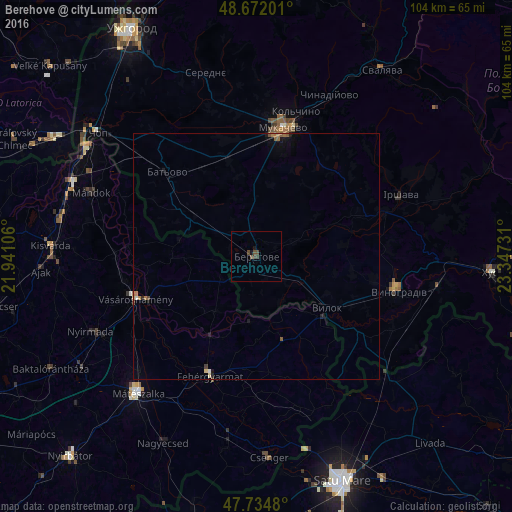
Berehove night lights from space
Night Light of Berehove (Transcarpathia) from space (Ukraine) Src. Average luminocity for 10x10km area is 1.8988% and for 50x50km: 0.4856%.

Analysis of Berehove night lights 2016
Square area 10x10 km:
 0%
0%90-99
0%80-89
0%70-79
0%60-69
0%50-59
0.45%40-49
1.93%30-39
1.19%20-29
0%10-19
1.19%0-9
95.24%Square area 50x50 km:
0.03%90-99
0.02%80-89
0.05%70-79
0.01%60-69
0.13%50-59
0.11%40-49
0.1%30-39
0.08%20-29
0.07%10-19
0.24%0-9
99.16%Clear (daylight) street map image can be seen on geolist.org.
Map coordinates:
48° 40' 19.2" North, 21° 56' 27.8" East
48° 12' 20" North, 22° 38' 39" East
47° 44' 5.3" North, 23° 20' 50.3" East
Some cities around Berehove sort by population:
• Mukacheve
26.5 km =16.5 mi,  11°
11°
• Vynohradiv
29.2 km =18.1 mi,  104°
104°
• Mátészalka, HU
36.6 km =22.7 mi,  220°
220°
• Vásárosnamény, HU
26.1 km =16.2 mi,  250°
250°
• Irshava
31.7 km =19.7 mi,  67°
67°
• Fehérgyarmat, HU
26.5 km =16.5 mi,  200°
200°
• Korolevo
37 km =23 mi, 99°
• Chynadiyovo
33.4 km =20.8 mi,  23°
23°
712423 (p: 25,741)
Sources (retrieved 2019-11-25):
» Earth at Night: Flat Maps 2012, 2016