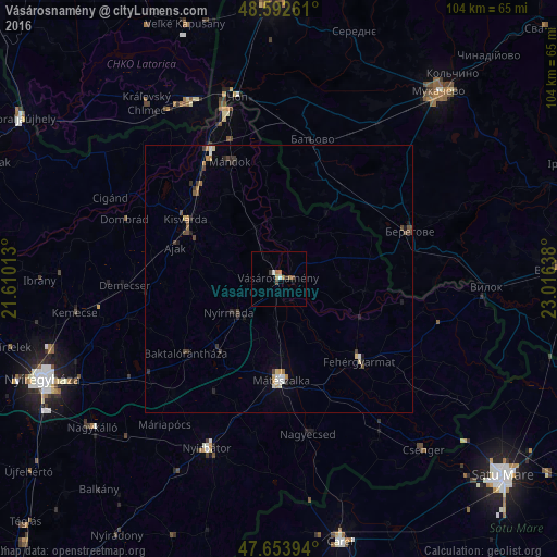
Vásárosnamény night lights from space
Night Light of Vásárosnamény (Szabolcs-Szatmár-Bereg) from space (Hungary) Src. Average luminocity for 10x10km area is 4.9539% and for 50x50km: 1.3794%.
Analysis of Vásárosnamény night lights 2016
Square area 10x10 km:
 0.6%
0.6%90-99
0.6%80-89
0.3%70-79
0.45%60-69
2.23%50-59
0%40-49
1.04%30-39
0.89%20-29
0.45%10-19
0.6%0-9
92.86%Square area 50x50 km:
0.15%90-99
0.14%80-89
0.17%70-79
0.12%60-69
0.25%50-59
0.13%40-49
0.32%30-39
0.28%20-29
0.3%10-19
0.3%0-9
97.84%Clear (daylight) street map image can be seen on geolist.org.
Map coordinates:
48° 35' 33.4" North, 21° 36' 36.5" East
48° 7' 31.5" North, 22° 18' 47.7" East
47° 39' 14.2" North, 23° 0' 59" East
Some cities around Vásárosnamény sort by population:
• Berehove, UA
26.1 km =16.2 mi,  70°
70°
• Mátészalka
18.9 km =11.7 mi,  177°
177°
• Kisvárda
19.8 km =12.3 mi,  300°
300°
• Nyírbátor
35.1 km =21.8 mi,  202°
202°
• Fehérgyarmat
21.9 km =13.6 mi,  136°
136°
• Chop, UA
35 km =21.7 mi,  346°
346°
• Nagyecsed
29.5 km =18.3 mi,  168°
168°
• Kemecse
38.1 km =23.7 mi,  261°
261°
714188 (p: 9,310)
Sources (retrieved 2019-11-25):
» Earth at Night: Flat Maps 2012, 2016