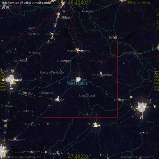
Mátészalka night lights from space
Night Light of Mátészalka (Szabolcs-Szatmár-Bereg) from space (Hungary) Src. Average luminocity for 10x10km area is 10.5114% and for 50x50km: 1.1279%.
Analysis of Mátészalka night lights 2016
Square area 10x10 km:
 1.99%
1.99%90-99
2.41%80-89
1.7%70-79
1.28%60-69
1.14%50-59
0%40-49
0.57%30-39
0%20-29
0.57%10-19
1.14%0-9
89.2%Square area 50x50 km:
0.15%90-99
0.18%80-89
0.16%70-79
0.1%60-69
0.15%50-59
0.02%40-49
0.16%30-39
0.21%20-29
0.2%10-19
0.3%0-9
98.35%Clear (daylight) street map image can be seen on geolist.org.
Map coordinates:
48° 25' 26.5" North, 21° 37' 13.3" East
47° 57' 19" North, 22° 19' 24.5" East
47° 28' 56.1" North, 23° 1' 35.8" East
Some cities around Mátészalka sort by population:
• Carei, RO
32.1 km =19.9 mi,  160°
160°
• Kisvárda
34.1 km =21.2 mi,  328°
328°
• Nyírbátor
19.6 km =12.2 mi,  226°
226°
• Vásárosnamény
18.9 km =11.7 mi,  357°
357°
• Fehérgyarmat
14.7 km =9.1 mi,  77°
77°
• Nagyecsed
11.2 km =7 mi,  153°
153°
• Csenger
29.8 km =18.5 mi,  116°
116°
• Sanislău, RO
35.8 km =22.2 mi,  178°
178°
717771 (p: 18,718)
Sources (retrieved 2019-11-25):
» Earth at Night: Flat Maps 2012, 2016