Berehomet night lights from space
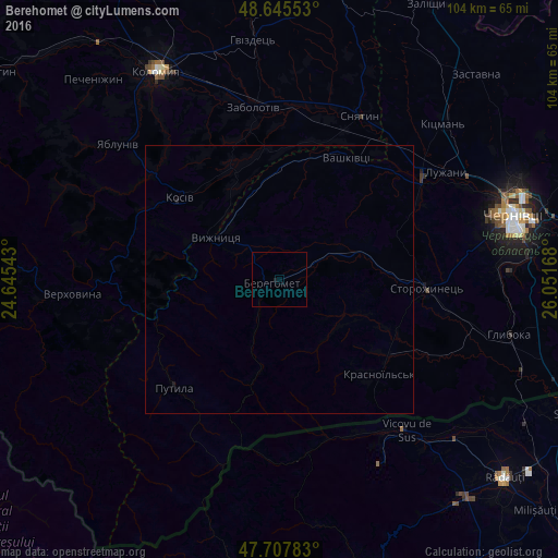
Night Light of Berehomet (Chernivtsi Oblast') from space (Ukraine) Src. Average luminocity for 10x10km area is 0.1235% and for 50x50km: 0.0127%.
Analysis of Berehomet night lights 2016
Square area 10x10 km:
 0%
0%90-99
0%80-89
0%70-79
0%60-69
0%50-59
0%40-49
0%30-39
0%20-29
0%10-19
0.6%0-9
99.4%Square area 50x50 km:
0%90-99
0%80-89
0%70-79
0%60-69
0%50-59
0%40-49
0%30-39
0%20-29
0%10-19
0.07%0-9
99.93%Clear (daylight) street map image can be seen on geolist.org.
Map coordinates:
48° 38' 43.9" North, 24° 38' 43.5" East
48° 10' 43.8" North, 25° 20' 54.8" East
47° 42' 28.2" North, 26° 3' 6" East
Some cities around Berehomet sort by population:
• Vicovu de Sus, RO
36.9 km =22.9 mi,  137°
137°
• Sniatyn
34 km =21.1 mi,  28°
28°
• Kosiv
23.8 km =14.8 mi,  308°
308°
• Vashkivtsi
25.8 km =16 mi, 27°
• Rozhniv
22.7 km =14.1 mi,  336°
336°
• Straja, RO
32.8 km =20.4 mi,  152°
152°
• Stari Kuty
16.6 km =10.3 mi, 308°
• Chudey
24.7 km =15.3 mi,  124°
124°
712430 (p: 8,227)
Sources (retrieved 2019-11-25):
» Earth at Night: Flat Maps 2012, 2016