Chudey night lights from space
Night Light of Chudey (Chernivtsi Oblast') from space (Ukraine) Src. Average luminocity for 10x10km area is 0% and for 50x50km: 1.0184%.
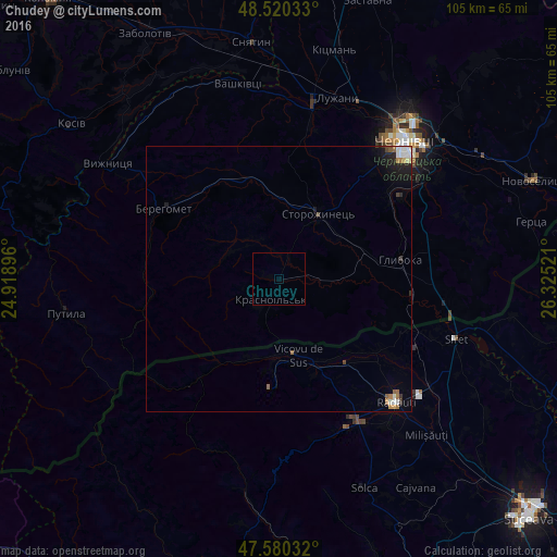
Analysis of Chudey night lights 2016
Square area 10x10 km:
 0%
0%90-99
0%80-89
0%70-79
0%60-69
0%50-59
0%40-49
0%30-39
0%20-29
0%10-19
0%0-9
100%Square area 50x50 km:
0.15%90-99
0.24%80-89
0.03%70-79
0.07%60-69
0.16%50-59
0.14%40-49
0.09%30-39
0.11%20-29
0.23%10-19
0.74%0-9
98.03%Clear (daylight) street map image can be seen on geolist.org.
Map coordinates:
48° 31' 13.2" North, 24° 55' 8.3" East
48° 3' 8.9" North, 25° 37' 19.5" East
47° 34' 49.2" North, 26° 19' 30.8" East
Some cities around Chudey sort by population:
• Vicovu de Sus, RO
14 km =8.7 mi,  161°
161°
• Hlyboka
23.2 km =14.4 mi,  79°
79°
• Berehomet
24.7 km =15.3 mi,  304°
304°
• Gălăneşti, RO
20.1 km =12.5 mi,  138°
138°
• Vicovu de Jos, RO
18.9 km =11.7 mi,  153°
153°
• Frătăuţii Noi, RO
20.6 km =12.8 mi,  126°
126°
• Straja, RO
16 km =9.9 mi,  199°
199°
• Horodnic de Sus, RO
28 km =17.4 mi, 147°
701294 (p: 5,058)
Sources (retrieved 2019-11-25):
» Earth at Night: Flat Maps 2012, 2016