Vicovu de Sus night lights from space
Night Light of Vicovu de Sus (Suceava) from space (Romania) Src. Average luminocity for 10x10km area is 0.4276% and for 50x50km: 0.6295%.
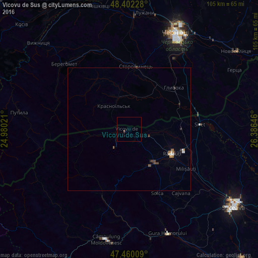
Analysis of Vicovu de Sus night lights 2016
Square area 10x10 km:
 0%
0%90-99
0%80-89
0%70-79
0%60-69
0.14%50-59
0.43%40-49
0%30-39
0%20-29
0%10-19
0.57%0-9
98.86%Square area 50x50 km:
0.07%90-99
0.09%80-89
0%70-79
0.05%60-69
0.14%50-59
0.12%40-49
0.14%30-39
0.15%20-29
0.08%10-19
0.04%0-9
99.12%Clear (daylight) street map image can be seen on geolist.org.
Map coordinates:
48° 24' 8.2" North, 24° 58' 48.8" East
47° 55' 60" North, 25° 40' 60" East
47° 27' 36.3" North, 26° 23' 11.3" East
Some cities around Vicovu de Sus sort by population:
• Rădăuți
19.7 km =12.2 mi,  118°
118°
• Marginea
16.3 km =10.1 mi,  142°
142°
• Volovăţ
20.7 km =12.9 mi,  128°
128°
• Gălăneşti
8.9 km =5.5 mi,  102°
102°
• Frătăuţii Noi
12.1 km =7.5 mi,  85°
85°
• Straja
10.1 km =6.3 mi,  259°
259°
• Horodnic de Sus
14.7 km =9.1 mi, 134°
• Chudey, UA
14 km =8.7 mi,  341°
341°
662992 (p: 14,077)
Sources (retrieved 2019-11-25):
» Earth at Night: Flat Maps 2012, 2016