Straja night lights from space
Night Light of Straja (Suceava) from space (Romania) Src. Average luminocity for 10x10km area is 0.0483% and for 50x50km: 0.1718%.
Analysis of Straja night lights 2016
Square area 10x10 km:
 0%
0%90-99
0%80-89
0%70-79
0%60-69
0%50-59
0%40-49
0%30-39
0%20-29
0%10-19
0%0-9
100%Square area 50x50 km:
0%90-99
0%80-89
0%70-79
0%60-69
0.02%50-59
0.06%40-49
0.13%30-39
0.05%20-29
0.04%10-19
0.05%0-9
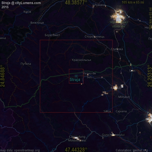
99.66%Clear (daylight) street map image can be seen on geolist.org.
Map coordinates:
48° 23' 8.8" North, 24° 50' 48.8" East
47° 55' 0" North, 25° 33' 0" East
47° 26' 35.8" North, 26° 15' 11.3" East
Some cities around Straja sort by population:
• Rădăuți
28.3 km =17.6 mi,  105°
105°
• Vicovu de Sus
10.1 km =6.3 mi,  79°
79°
• Marginea
22.8 km =14.2 mi,  119°
119°
• Gălăneşti
18.6 km =11.6 mi,  90°
90°
• Vicovu de Jos
13.8 km =8.6 mi,  97°
97°
• Frătăuţii Noi
22.1 km =13.7 mi, 82°
• Horodnic de Sus
22.1 km =13.7 mi, 112°
• Chudey, UA
16 km =9.9 mi,  19°
19°
666012 (p: 5,304)
Sources (retrieved 2019-11-25):
» Earth at Night: Flat Maps 2012, 2016