Kosiv night lights from space
Night Light of Kosiv (Ivano-Frankivsk) from space (Ukraine) Src. Average luminocity for 10x10km area is 0.0938% and for 50x50km: 0.3023%.
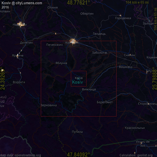
Analysis of Kosiv night lights 2016
Square area 10x10 km:
 0%
0%90-99
0%80-89
0%70-79
0%60-69
0%50-59
0%40-49
0%30-39
0%20-29
0%10-19
0.57%0-9
99.43%Square area 50x50 km:
0.03%90-99
0.06%80-89
0.01%70-79
0.06%60-69
0.02%50-59
0.02%40-49
0.1%30-39
0.04%20-29
0.02%10-19
0.1%0-9
99.54%Clear (daylight) street map image can be seen on geolist.org.
Map coordinates:
48° 46' 34.4" North, 24° 23' 33.5" East
48° 18' 38.6" North, 25° 5' 44.7" East
47° 50' 27.3" North, 25° 47' 56" East
Some cities around Kosiv sort by population:
• Kolomyia
24.9 km =15.5 mi,  349°
349°
• Berehomet
23.8 km =14.8 mi,  128°
128°
• Kosmach
20.5 km =12.7 mi,  275°
275°
• Vashkivtsi
31.7 km =19.7 mi,  74°
74°
• Rozhniv
11.4 km =7.1 mi,  57°
57°
• Verkhovyna
28.4 km =17.6 mi,  232°
232°
• Pechenizhyn
27.2 km =16.9 mi,  326°
326°
• Stari Kuty
7.2 km =4.5 mi, 127°
704764 (p: 7,992)
Sources (retrieved 2019-11-25):
» Earth at Night: Flat Maps 2012, 2016