Mariupol night lights from space
Night Light of Mariupol (Donetsk) from space (Ukraine) Src. Average luminocity for 10x10km area is 60.8764% and for 50x50km: 6.4226%.
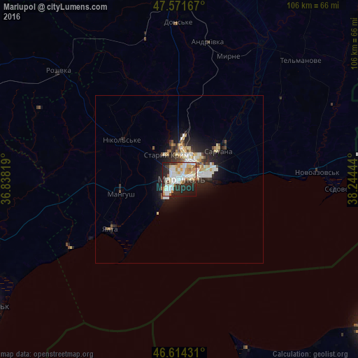
Analysis of Mariupol night lights 2016
Square area 10x10 km:
 12.93%
90-99
20.88%80-89
8.1%70-79
6.82%60-69
5.82%50-59
3.13%40-49
3.69%30-39
7.24%20-29
19.18%10-19
11.22%0-9
0.99%Square area 50x50 km:
0.98%90-99
1.68%80-89
0.84%70-79
0.62%60-69
0.6%50-59
0.49%40-49
0.53%30-39
0.9%20-29
2.29%10-19
4.02%0-9
87.06%Clear (daylight) street map image can be seen on geolist.org.
Map coordinates:
47° 34' 18" North, 36° 50' 17.5" East
47° 5' 42.5" North, 37° 32' 28.7" East
46° 36' 51.5" North, 38° 14' 40" East
Some cities around Mariupol sort by population:
• Berdyansk
67.2 km =41.8 mi,  237°
237°
• Volnovakha
56.3 km =35 mi,  356°
356°
• Novoazovs'k
41.3 km =25.7 mi,  87°
87°
• Sartana
14.4 km =8.9 mi,  52°
52°
• Manhush
18 km =11.2 mi,  255°
255°
• Dolzhanskaya, RU
55 km =34.2 mi,  158°
158°
• Staryy Krym
8.4 km =5.2 mi,  331°
331°
• Yalta
25.1 km =15.6 mi,  234°
234°
701822 (p: 481,626)
Sources (retrieved 2019-11-25):
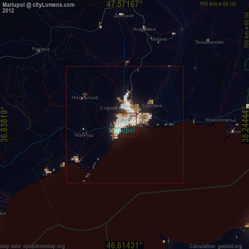
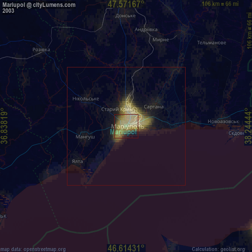
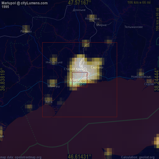
» NASA, Earths city lights 1995
» NASA city lights 2003
» Earth at Night: Flat Maps 2012, 2016