Songwa night lights from space
Night Light of Songwa (Shinyanga) from space (Tanzania) Src. Average luminocity for 10x10km area is 0.7446% and for 50x50km: 1.591%.
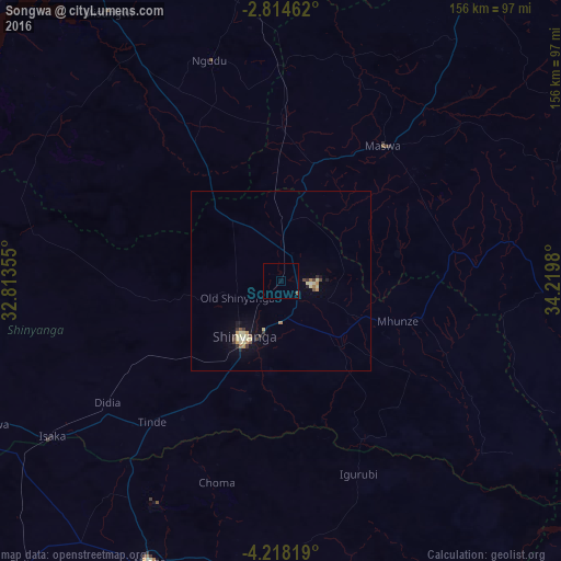
Analysis of Songwa night lights 2016
Square area 10x10 km:
 0%
0%90-99
0%80-89
0%70-79
0%60-69
0%50-59
0.87%40-49
0%30-39
0%20-29
0%10-19
0%0-9
99.13%Square area 50x50 km:
0.03%90-99
0.12%80-89
0.55%70-79
0.17%60-69
0.19%50-59
0.09%40-49
0.25%30-39
0.28%20-29
0.16%10-19
0.67%0-9
97.49%Clear (daylight) street map image can be seen on geolist.org.
Map coordinates:
2° 48' 52.6" South, 32° 48' 48.8" East
3° 31' 0" South, 33° 31' 0" East
4° 13' 5.5" South, 34° 13' 11.3" East
Some cities around Songwa sort by population:
• Shinyanga
19.5 km =12.1 mi,  212°
212°
• Somanda
50.9 km =31.6 mi,  70°
70°
• Nyalikungu
47.4 km =29.5 mi,  38°
38°
• Old Shinyanga
13.5 km =8.4 mi,  254°
254°
• Mwadui
10 km =6.2 mi,  111°
111°
• Lalago
48.7 km =30.3 mi,  81°
81°
• Malampaka
42.7 km =26.5 mi,  2°
2°
• Kishapu
40.4 km =25.1 mi, 105°
149775 (p: 23,618)
Sources (retrieved 2019-11-25):
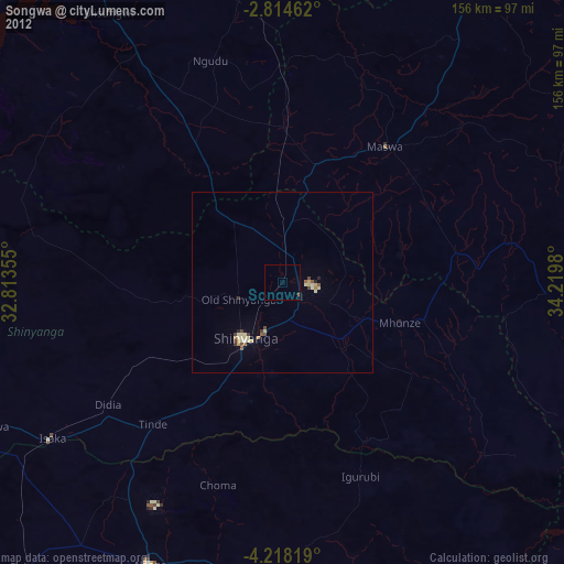
» Earth at Night: Flat Maps 2012, 2016