Mwadui night lights from space
Night Light of Mwadui (Shinyanga) from space (Tanzania) Src. Average luminocity for 10x10km area is 11.3506% and for 50x50km: 1.5742%.

Analysis of Mwadui night lights 2016
Square area 10x10 km:
 0.43%
0.43%90-99
0.65%80-89
4.11%70-79
1.08%60-69
2.38%50-59
0.87%40-49
3.46%30-39
0.65%20-29
1.3%10-19
1.52%0-9
83.55%Square area 50x50 km:
0.03%90-99
0.12%80-89
0.55%70-79
0.17%60-69
0.19%50-59
0.09%40-49
0.25%30-39
0.28%20-29
0.16%10-19
0.67%0-9
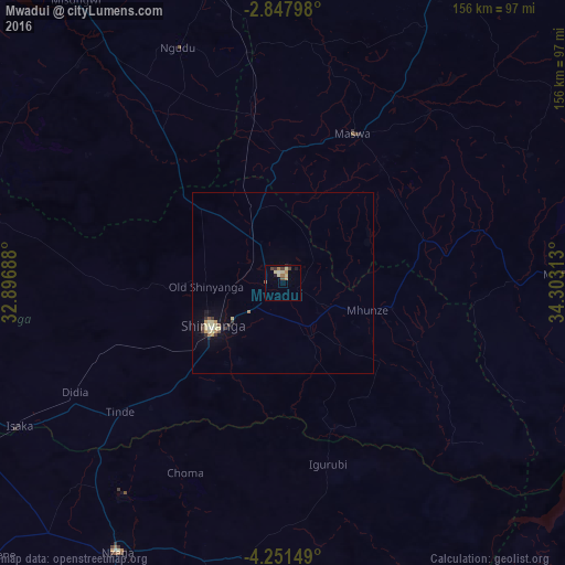
97.49%Clear (daylight) street map image can be seen on geolist.org.
Map coordinates:
2° 50' 52.7" South, 32° 53' 48.8" East
3° 33' 0" South, 33° 36' 0" East
4° 15' 5.4" South, 34° 18' 11.3" East
Some cities around Mwadui sort by population:
• Shinyanga
23.5 km =14.6 mi,  237°
237°
• Somanda
43.9 km =27.3 mi,  62°
62°
• Nyalikungu
45.6 km =28.3 mi,  26°
26°
• Old Shinyanga
22.2 km =13.8 mi,  270°
270°
• Songwa
10 km =6.2 mi,  291°
291°
• Lalago
40.4 km =25.1 mi,  74°
74°
• Malampaka
46.9 km =29.1 mi,  350°
350°
• Kishapu
30.5 km =19 mi,  104°
104°
152376 (p: 23,296)
Sources (retrieved 2019-11-25):
» Earth at Night: Flat Maps 2012, 2016