Kishapu night lights from space
Night Light of Kishapu (Shinyanga) from space (Tanzania) Src. Average luminocity for 10x10km area is 0% and for 50x50km: 0.0055%.
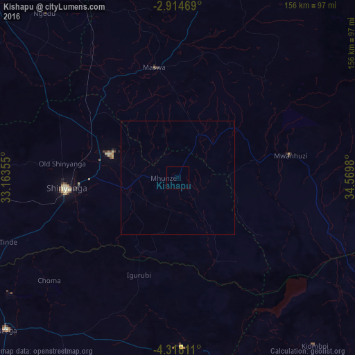
Analysis of Kishapu night lights 2016
Square area 10x10 km:
 0%
0%90-99
0%80-89
0%70-79
0%60-69
0%50-59
0%40-49
0%30-39
0%20-29
0%10-19
0%0-9
100%Square area 50x50 km:
0%90-99
0%80-89
0%70-79
0%60-69
0%50-59
0%40-49
0%30-39
0%20-29
0%10-19
0%0-9
100%Clear (daylight) street map image can be seen on geolist.org.
Map coordinates:
2° 54' 52.9" South, 33° 9' 48.8" East
3° 37' 0" South, 33° 52' 0" East
4° 19' 5.2" South, 34° 34' 11.3" East
Some cities around Kishapu sort by population:
• Shinyanga
49.7 km =30.9 mi,  263°
263°
• Somanda
29.3 km =18.2 mi,  18°
18°
• Nyalikungu
49.1 km =30.5 mi,  349°
349°
• Old Shinyanga
52.3 km =32.5 mi,  278°
278°
• Songwa
40.4 km =25.1 mi,  285°
285°
• Mwadui
30.5 km =19 mi, 284°
• Lalago
20.7 km =12.9 mi,  26°
26°
• Igurubi
46.5 km =28.9 mi,  203°
203°
156963 (p: 16,371)
Sources (retrieved 2019-11-25):
» Earth at Night: Flat Maps 2012, 2016