Somanda night lights from space
Night Light of Somanda (Simiyu) from space (Tanzania) Src. Average luminocity for 10x10km area is 0% and for 50x50km: 0.052%.
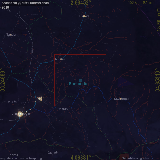
Analysis of Somanda night lights 2016
Square area 10x10 km:
100  0%
0%
90-99 0%
80-89 0%
70-79 0%
60-69 0%
50-59 0%
40-49 0%
30-39 0%
20-29 0%
10-19 0%
0-9 100%
0%90-99
0%80-89
0%70-79
0%60-69
0%50-59
0%40-49
0%30-39
0%20-29
0%10-19
0%0-9
100%Square area 50x50 km:
100 0%
90-99 0%
80-89 0%
70-79 0%
60-69 0%
50-59 0.03%
40-49 0.04%
30-39 0%
20-29 0.07%
10-19 0%
0-9 99.86%
0%90-99
0%80-89
0%70-79
0%60-69
0%50-59
0.03%40-49
0.04%30-39
0%20-29
0.07%10-19
0%0-9
99.86%Clear (daylight) street map image can be seen on geolist.org.
Map coordinates:
2° 39' 52.3" South, 33° 14' 48.8" East
3° 22' 0" South, 33° 57' 0" East
4° 4' 5.9" South, 34° 39' 11.3" East
Some cities around Somanda sort by population:
• Bariadi
63.1 km =39.2 mi,  3°
3°
• Kisesa
38.5 km =23.9 mi,  35°
35°
• Nyalikungu
27.5 km =17.1 mi,  317°
317°
• Songwa
50.9 km =31.6 mi,  250°
250°
• Mwadui
43.9 km =27.3 mi,  242°
242°
• Lalago
9.3 km =5.8 mi,  180°
180°
• Malampaka
53 km =32.9 mi,  299°
299°
• Kishapu
29.3 km =18.2 mi,  198°
198°
149792 (p: 33,932)
Sources (retrieved 2019-11-25):
» Earth at Night: Flat Maps 2012, 2016