Shinyanga night lights from space
Night Light of Shinyanga from space (Tanzania) Src. Average luminocity for 10x10km area is 23.1147% and for 50x50km: 1.5874%.
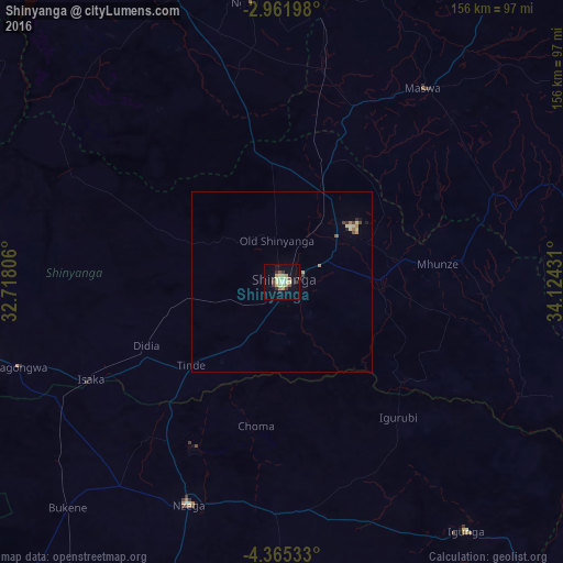
Analysis of Shinyanga night lights 2016
Square area 10x10 km:
 0.43%
0.43%90-99
2.38%80-89
8.66%70-79
3.25%60-69
1.52%50-59
1.3%40-49
2.81%30-39
4.98%20-29
2.38%10-19
14.72%0-9
57.58%Square area 50x50 km:
0.03%90-99
0.12%80-89
0.55%70-79
0.17%60-69
0.19%50-59
0.09%40-49
0.25%30-39
0.28%20-29
0.16%10-19
0.67%0-9
97.49%Clear (daylight) street map image can be seen on geolist.org.
Map coordinates:
2° 57' 43.1" South, 32° 43' 5" East
3° 39' 50.1" South, 33° 25' 16.2" East
4° 21' 55.2" South, 34° 7' 27.5" East
Some cities around Shinyanga sort by population:
• Old Shinyanga
12.9 km =8 mi,  349°
349°
• Songwa
19.5 km =12.1 mi,  32°
32°
• Mwadui
23.5 km =14.6 mi,  57°
57°
• Tinde
34.6 km =21.5 mi,  225°
225°
• Isaka
60.2 km =37.4 mi,  244°
244°
• Malampaka
60.3 km =37.5 mi,  11°
11°
• Kishapu
49.7 km =30.9 mi,  83°
83°
• Igurubi
48.5 km =30.1 mi,  140°
140°
150006 (p: 107,362)
Sources (retrieved 2019-11-25):
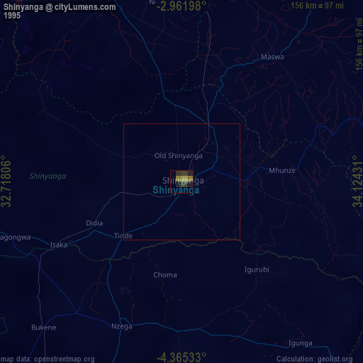
» NASA, Earths city lights 1995
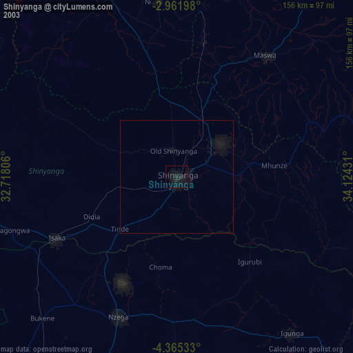
» NASA city lights 2003
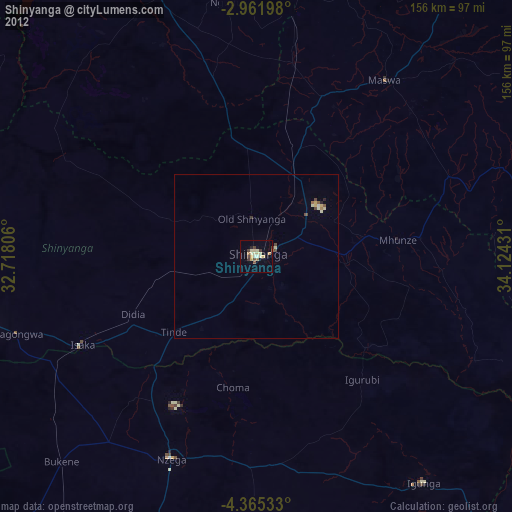
» Earth at Night: Flat Maps 2012, 2016