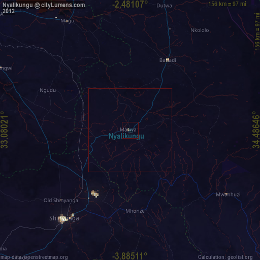
Nyalikungu night lights from space
Night Light of Nyalikungu (Simiyu) from space (Tanzania) Src. Average luminocity for 10x10km area is 1.3009% and for 50x50km: 0.052%.
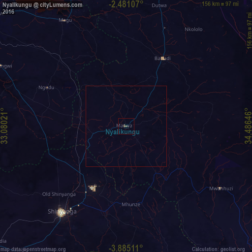
Analysis of Nyalikungu night lights 2016
Square area 10x10 km:
 0%
0%90-99
0%80-89
0%70-79
0%60-69
0%50-59
0.65%40-49
1.08%30-39
0%20-29
1.73%10-19
0%0-9
96.54%Square area 50x50 km:
0%90-99
0%80-89
0%70-79
0%60-69
0%50-59
0.03%40-49
0.04%30-39
0%20-29
0.07%10-19
0%0-9
99.86%Clear (daylight) street map image can be seen on geolist.org.
Map coordinates:
2° 28' 51.9" South, 33° 4' 48.8" East
3° 10' 60" South, 33° 46' 60" East
3° 53' 6.4" South, 34° 29' 11.3" East
Some cities around Nyalikungu sort by population:
• Somanda
27.5 km =17.1 mi,  137°
137°
• Bariadi
48.1 km =29.9 mi,  27°
27°
• Kisesa
42.2 km =26.2 mi,  74°
74°
• Songwa
47.4 km =29.5 mi,  218°
218°
• Mwadui
45.6 km =28.3 mi,  206°
206°
• Lalago
34.9 km =21.7 mi,  148°
148°
• Malampaka
28.3 km =17.6 mi,  281°
281°
• Malya
37 km =23 mi,  306°
306°
151211 (p: 24,648)
Sources (retrieved 2019-11-25):
» Earth at Night: Flat Maps 2012, 2016