Nyakabindi night lights from space
Night Light of Nyakabindi (Simiyu) from space (Tanzania) Src. Average luminocity for 10x10km area is 0.3701% and for 50x50km: 0.1329%.
Analysis of Nyakabindi night lights 2016
Square area 10x10 km:
 0%
0%90-99
0%80-89
0%70-79
0%60-69
0%50-59
0%40-49
0%30-39
0%20-29
0.87%10-19
0%0-9
99.13%Square area 50x50 km:
0%90-99
0%80-89
0%70-79
0.06%60-69
0.08%50-59
0%40-49
0.01%30-39
0.03%20-29
0.03%10-19
0%0-9
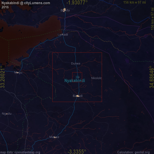
99.79%Clear (daylight) street map image can be seen on geolist.org.
Map coordinates:
1° 55' 50.8" South, 33° 16' 48.8" East
2° 37' 60" South, 33° 58' 60" East
3° 20' 7.8" South, 34° 41' 11.3" East
Some cities around Nyakabindi sort by population:
• Bunda
66.1 km =41.1 mi,  348°
348°
• Bariadi
18.5 km =11.5 mi,  180°
180°
• Kisesa
53.3 km =33.1 mi,  159°
159°
• Nyalikungu
65.1 km =40.5 mi,  199°
199°
• Maswa
5.6 km =3.5 mi, 180°
• Kihangara
70.6 km =43.9 mi,  274°
274°
• Malya
64.8 km =40.3 mi,  233°
233°
• Matonga
29.9 km =18.6 mi,  21°
21°
151266 (p: 18,428)
Sources (retrieved 2019-11-25):
» Earth at Night: Flat Maps 2012, 2016