Maswa night lights from space
Night Light of Maswa (Simiyu) from space (Tanzania) Src. Average luminocity for 10x10km area is 0.0476% and for 50x50km: 0.1329%.
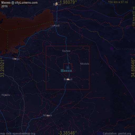
Analysis of Maswa night lights 2016
Square area 10x10 km:
 0%
0%90-99
0%80-89
0%70-79
0%60-69
0%50-59
0%40-49
0%30-39
0%20-29
0%10-19
0%0-9
100%Square area 50x50 km:
0%90-99
0%80-89
0%70-79
0.06%60-69
0.08%50-59
0%40-49
0.01%30-39
0.03%20-29
0.03%10-19
0%0-9
99.79%Clear (daylight) street map image can be seen on geolist.org.
Map coordinates:
1° 58' 50.8" South, 33° 16' 48.8" East
2° 40' 60" South, 33° 58' 60" East
3° 23' 7.7" South, 34° 41' 11.3" East
Some cities around Maswa sort by population:
• Bariadi
13 km =8.1 mi,  180°
180°
• Kisesa
48.2 km =30 mi,  157°
157°
• Nyalikungu
59.9 km =37.2 mi,  201°
201°
• Kihangara
71.2 km =44.2 mi,  278°
278°
• Nyakabindi
5.6 km =3.5 mi,  0°
0°
• Malampaka
70.7 km =43.9 mi,  224°
224°
• Malya
61.6 km =38.3 mi,  237°
237°
• Matonga
35.2 km =21.9 mi,  18°
18°
154648 (p: 22,025)
Sources (retrieved 2019-11-25):
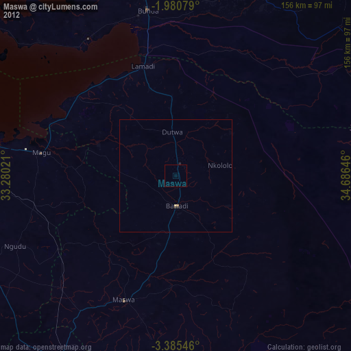
» Earth at Night: Flat Maps 2012, 2016