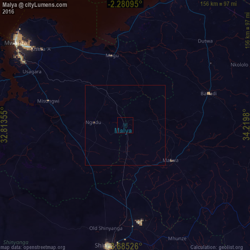
Malya night lights from space
Night Light of Malya (Mwanza) from space (Tanzania) Src. Average luminocity for 10x10km area is 0% and for 50x50km: 0.0191%.
Analysis of Malya night lights 2016
Square area 10x10 km:
100  0%
0%
90-99 0%
80-89 0%
70-79 0%
60-69 0%
50-59 0%
40-49 0%
30-39 0%
20-29 0%
10-19 0%
0-9 100%
0%90-99
0%80-89
0%70-79
0%60-69
0%50-59
0%40-49
0%30-39
0%20-29
0%10-19
0%0-9
100%Square area 50x50 km:
100 0%
90-99 0%
80-89 0%
70-79 0%
60-69 0%
50-59 0%
40-49 0.03%
30-39 0%
20-29 0%
10-19 0%
0-9 99.97%
0%90-99
0%80-89
0%70-79
0%60-69
0%50-59
0%40-49
0.03%30-39
0%20-29
0%10-19
0%0-9
99.97%Clear (daylight) street map image can be seen on geolist.org.
Map coordinates:
2° 16' 51.4" South, 32° 48' 48.8" East
2° 58' 60" South, 33° 31' 0" East
3° 41' 6.9" South, 34° 13' 11.3" East
Some cities around Malya sort by population:
• Misungwi
50.4 km =31.3 mi,  287°
287°
• Bariadi
55.7 km =34.6 mi,  68°
68°
• Nyalikungu
37 km =23 mi,  126°
126°
• Songwa
59.3 km =36.8 mi,  180°
180°
• Ngudu
20.4 km =12.7 mi,  275°
275°
• Kihangara
48.2 km =30 mi,  337°
337°
• Malampaka
16.8 km =10.4 mi,  173°
173°
• Misasi
48.2 km =30 mi,  267°
267°
154995 (p: 12,627)
Sources (retrieved 2019-11-25):
» Earth at Night: Flat Maps 2012, 2016