Matonga night lights from space
Night Light of Matonga (Simiyu) from space (Tanzania) Src. Average luminocity for 10x10km area is 0% and for 50x50km: 0.0003%.
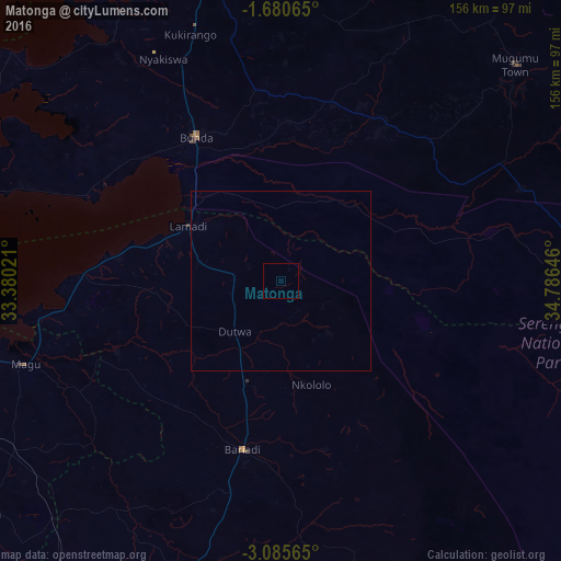
Analysis of Matonga night lights 2016
Square area 10x10 km:
 0%
0%90-99
0%80-89
0%70-79
0%60-69
0%50-59
0%40-49
0%30-39
0%20-29
0%10-19
0%0-9
100%Square area 50x50 km:
0%90-99
0%80-89
0%70-79
0%60-69
0%50-59
0%40-49
0%30-39
0%20-29
0%10-19
0%0-9
100%Clear (daylight) street map image can be seen on geolist.org.
Map coordinates:
1° 40' 50.3" South, 33° 22' 48.8" East
2° 22' 60" South, 34° 4' 60" East
3° 5' 8.3" South, 34° 47' 11.3" East
Some cities around Matonga sort by population:
• Bunda
44.2 km =27.5 mi,  326°
326°
• Bariadi
47.6 km =29.6 mi,  193°
193°
• Maswa
35.2 km =21.9 mi,  198°
198°
• Nyakabindi
29.9 km =18.6 mi, 201°
• Kibara
75 km =46.6 mi,  290°
290°
• Nyamuswa
54.2 km =33.7 mi,  352°
352°
• Butiama
69.8 km =43.4 mi, 349°
• Issenye
50.9 km =31.6 mi,  33°
33°
154576 (p: 11,828)
Sources (retrieved 2019-11-25):
» Earth at Night: Flat Maps 2012, 2016