Bunda night lights from space
Night Light of Bunda (Mara) from space (Tanzania) Src. Average luminocity for 10x10km area is 4.4675% and for 50x50km: 0.199%.
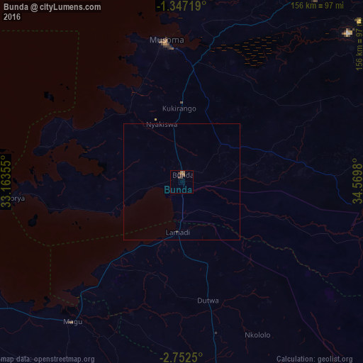

Analysis of Bunda night lights 2016
Square area 10x10 km:
 0%
0%90-99
0%80-89
0%70-79
0.65%60-69
1.52%50-59
2.16%40-49
1.08%30-39
2.38%20-29
0%10-19
0.87%0-9
91.34%Square area 50x50 km:
0%90-99
0%80-89
0%70-79
0.03%60-69
0.06%50-59
0.09%40-49
0.04%30-39
0.13%20-29
0%10-19
0.04%0-9
99.61%Clear (daylight) street map image can be seen on geolist.org.
Map coordinates:
1° 20' 49.9" South, 33° 9' 48.8" East
2° 3' 0" South, 33° 52' 0" East
2° 45' 9" South, 34° 34' 11.3" East
Some cities around Bunda sort by population:
• Musoma
61.6 km =38.3 mi,  353°
353°
• Nyakabindi
66.1 km =41.1 mi,  168°
168°
• Kibara
47.6 km =29.6 mi,  256°
256°
• Nyamuswa
23.6 km =14.7 mi,  44°
44°
• Butiama
33.4 km =20.8 mi,  19°
19°
• Matonga
44.2 km =27.5 mi,  146°
146°
• Mugango
44.8 km =27.8 mi,  335°
335°
• Issenye
52.2 km =32.4 mi,  83°
83°
160892 (p: 50,944)
Sources (retrieved 2019-11-25):
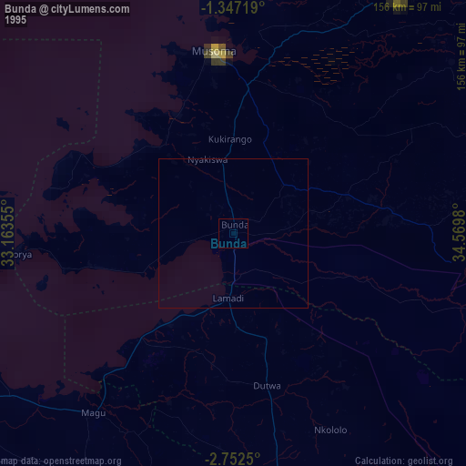
» NASA, Earths city lights 1995
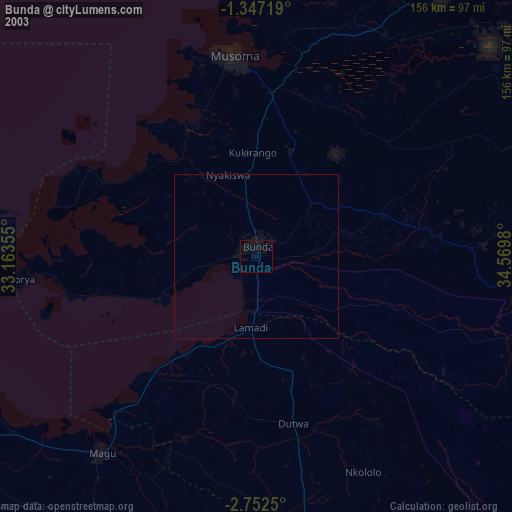
» NASA city lights 2003
» Earth at Night: Flat Maps 2012, 2016