Bungu night lights from space
Night Light of Bungu (Pwani) from space (Tanzania) Src. Average luminocity for 10x10km area is 0.2922% and for 50x50km: 0.0477%.
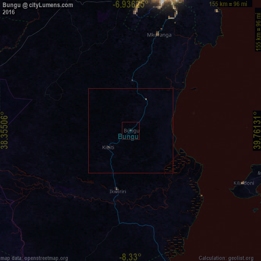
Analysis of Bungu night lights 2016
Square area 10x10 km:
 0%
0%90-99
0%80-89
0%70-79
0%60-69
0%50-59
0%40-49
0%30-39
0%20-29
0.87%10-19
0%0-9
99.13%Square area 50x50 km:
0%90-99
0%80-89
0%70-79
0%60-69
0%50-59
0.03%40-49
0%30-39
0.03%20-29
0.03%10-19
0%0-9
99.9%Clear (daylight) street map image can be seen on geolist.org.
Map coordinates:
6° 56' 10.5" South, 38° 21' 18.2" East
7° 38' 1.3" South, 39° 3' 29.4" East
8° 19' 48" South, 39° 45' 40.7" East
Some cities around Bungu sort by population:
• Kibiti
16.5 km =10.3 mi,  233°
233°
• Mkuranga
59.7 km =37.1 mi,  16°
16°
• Vikindu
74.6 km =46.4 mi, 20°
• Ikwiriri
37.1 km =23.1 mi,  194°
194°
• Kisarawe
81.6 km =50.7 mi,  0°
0°
• Kilindoni
73.5 km =45.7 mi,  115°
115°
• Utete
51.3 km =31.9 mi,  220°
220°
• Maneromango
57 km =35.4 mi,  328°
328°
160877 (p: 27,873)
Sources (retrieved 2019-11-25):
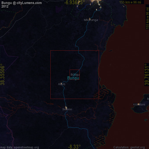
» Earth at Night: Flat Maps 2012, 2016