Mafinga night lights from space
Night Light of Mafinga (Iringa) from space (Tanzania) Src. Average luminocity for 10x10km area is 0% and for 50x50km: 0%.
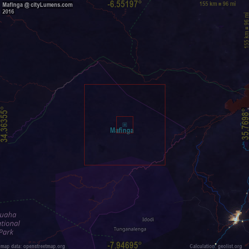

Analysis of Mafinga night lights 2016
Square area 10x10 km:
100  0%
0%
90-99 0%
80-89 0%
70-79 0%
60-69 0%
50-59 0%
40-49 0%
30-39 0%
20-29 0%
10-19 0%
0-9 100%
0%90-99
0%80-89
0%70-79
0%60-69
0%50-59
0%40-49
0%30-39
0%20-29
0%10-19
0%0-9
100%Square area 50x50 km:
100 0%
90-99 0%
80-89 0%
70-79 0%
60-69 0%
50-59 0%
40-49 0%
30-39 0%
20-29 0%
10-19 0%
0-9 100%
0%90-99
0%80-89
0%70-79
0%60-69
0%50-59
0%40-49
0%30-39
0%20-29
0%10-19
0%0-9
100%Clear (daylight) street map image can be seen on geolist.org.
Map coordinates:
6° 33' 7.1" South, 34° 21' 48.8" East
7° 15' 0" South, 35° 4' 0" East
7° 56' 49" South, 35° 46' 11.3" East
Some cities around Mafinga sort by population:
• Dodoma
141 km =87.6 mi,  31°
31°
• Iringa
90.4 km =56.2 mi,  129°
129°
• Ilula
117 km =72.7 mi,  113°
113°
• Izazi
73.7 km =45.8 mi,  85°
85°
• Dunda
131.8 km =81.9 mi,  223°
223°
• Kisasa
143.9 km =89.4 mi, 33°
• Kintinku
153.1 km =95.1 mi,  6°
6°
• Malangali
148.3 km =92.1 mi,  189°
189°
155405 (p: 34,958)
Sources (retrieved 2019-11-25):
» Earth at Night: Flat Maps 2012, 2016