Kisasa night lights from space
Night Light of Kisasa (Dodoma) from space (Tanzania) Src. Average luminocity for 10x10km area is 40.314% and for 50x50km: 3.4874%.
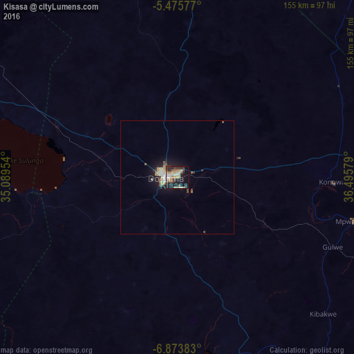
Analysis of Kisasa night lights 2016
Square area 10x10 km:
 4.96%
4.96%90-99
8.68%80-89
3.72%70-79
6.61%60-69
7.85%50-59
1.45%40-49
7.23%30-39
6.2%20-29
14.46%10-19
25.41%0-9
13.43%Square area 50x50 km:
0.36%90-99
0.56%80-89
0.46%70-79
0.56%60-69
0.41%50-59
0.24%40-49
0.59%30-39
0.41%20-29
0.92%10-19
3.12%0-9
92.37%Clear (daylight) street map image can be seen on geolist.org.
Map coordinates:
5° 28' 32.8" South, 35° 5' 22.3" East
6° 10' 30.9" South, 35° 47' 33.6" East
6° 52' 25.8" South, 36° 29' 44.8" East
Some cities around Kisasa sort by population:
• Dodoma
5.9 km =3.7 mi,  273°
273°
• Mpwapwa
78.8 km =49 mi,  104°
104°
• Kibakwe
87.4 km =54.3 mi,  133°
133°
• Izazi
114.1 km =70.9 mi,  183°
183°
• Kongwa
69 km =42.9 mi,  92°
92°
• Kintinku
69.8 km =43.4 mi,  297°
297°
• Kilimatinde
100 km =62.1 mi,  291°
291°
• Msanga
30 km =18.6 mi,  62°
62°
9063978 (p: 10,000)
Sources (retrieved 2019-11-25):
» Earth at Night: Flat Maps 2012, 2016