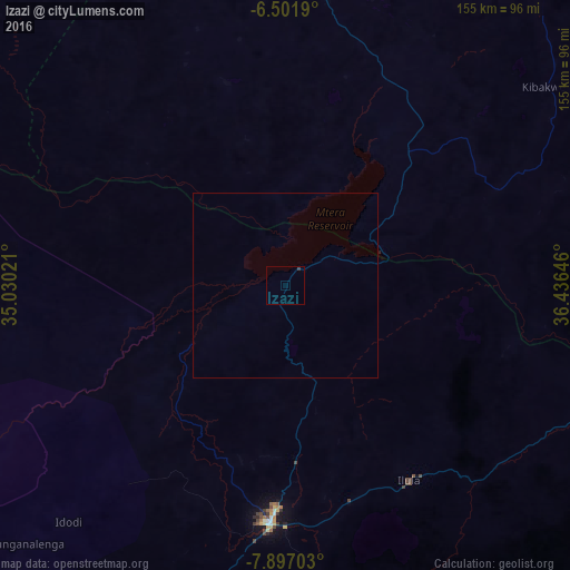
Izazi night lights from space
Night Light of Izazi (Iringa) from space (Tanzania) Src. Average luminocity for 10x10km area is 0.3052% and for 50x50km: 0.0145%.
Analysis of Izazi night lights 2016
Square area 10x10 km:
100  0%
0%
90-99 0%
80-89 0%
70-79 0%
60-69 0%
50-59 0%
40-49 0%
30-39 0.87%
20-29 0%
10-19 0%
0-9 99.13%
0%90-99
0%80-89
0%70-79
0%60-69
0%50-59
0%40-49
0%30-39
0.87%20-29
0%10-19
0%0-9
99.13%Square area 50x50 km:
100 0%
90-99 0%
80-89 0%
70-79 0%
60-69 0%
50-59 0%
40-49 0%
30-39 0.03%
20-29 0%
10-19 0%
0-9 99.97%
0%90-99
0%80-89
0%70-79
0%60-69
0%50-59
0%40-49
0%30-39
0.03%20-29
0%10-19
0%0-9
99.97%Clear (daylight) street map image can be seen on geolist.org.
Map coordinates:
6° 30' 6.8" South, 35° 1' 48.8" East
7° 12' 0" South, 35° 43' 60" East
7° 53' 49.3" South, 36° 26' 11.3" East
Some cities around Izazi sort by population:
• Dodoma
114.3 km =71 mi,  0°
0°
• Iringa
63.1 km =39.2 mi,  183°
183°
• Mafinga
73.7 km =45.8 mi,  265°
265°
• Ilula
62.7 km =39 mi,  147°
147°
• Mpwapwa
125.7 km =78.1 mi,  41°
41°
• Kibakwe
88.2 km =54.8 mi,  52°
52°
• Kisasa
114.1 km =70.9 mi, 3°
• Msanga
132.1 km =82.1 mi,  14°
14°
158825 (p: 18,010)
Sources (retrieved 2019-11-25):
» Earth at Night: Flat Maps 2012, 2016