Iringa night lights from space
Night Light of Iringa from space (Tanzania) Src. Average luminocity for 10x10km area is 30.6488% and for 50x50km: 1.4897%.
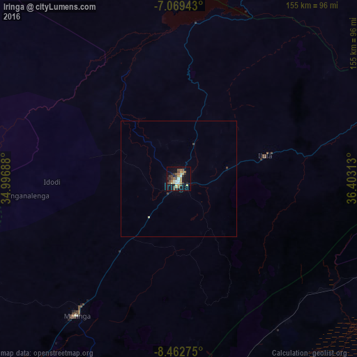

Analysis of Iringa night lights 2016
Square area 10x10 km:
 2.48%
2.48%90-99
3.51%80-89
3.72%70-79
5.99%60-69
5.79%50-59
4.13%40-49
7.02%30-39
4.55%20-29
5.17%10-19
25.41%0-9
32.23%Square area 50x50 km:
0.1%90-99
0.14%80-89
0.19%70-79
0.24%60-69
0.24%50-59
0.17%40-49
0.35%30-39
0.23%20-29
0.21%10-19
1.09%0-9
97.05%Clear (daylight) street map image can be seen on geolist.org.
Map coordinates:
7° 4' 9.9" South, 34° 59' 48.8" East
7° 46' 0" South, 35° 42' 0" East
8° 27' 45.9" South, 36° 24' 11.3" East
Some cities around Iringa sort by population:
• Ifakara
115.7 km =71.9 mi,  110°
110°
• Mlimba
115.6 km =71.8 mi,  173°
173°
• Mafinga
90.4 km =56.2 mi,  309°
309°
• Ilula
38.4 km =23.9 mi,  74°
74°
• Izazi
63.1 km =39.2 mi,  3°
3°
• Lupiro
126.6 km =78.7 mi,  122°
122°
• Makungu
116.9 km =72.6 mi,  203°
203°
• Malangali
129.1 km =80.2 mi,  226°
226°
159071 (p: 111,820)
Sources (retrieved 2019-11-25):
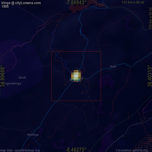
» NASA, Earths city lights 1995
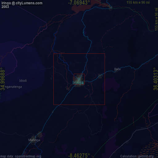
» NASA city lights 2003
» Earth at Night: Flat Maps 2012, 2016