Mikumi night lights from space
Night Light of Mikumi (Morogoro) from space (Tanzania) Src. Average luminocity for 10x10km area is 0.9567% and for 50x50km: 0.0389%.
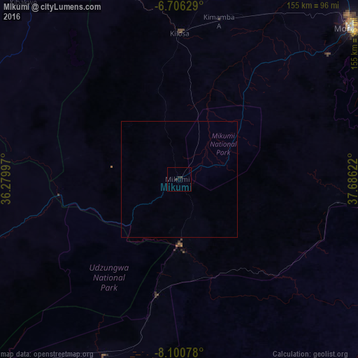
Analysis of Mikumi night lights 2016
Square area 10x10 km:
 0%
0%90-99
0%80-89
0%70-79
0%60-69
0%50-59
0%40-49
0%30-39
1.73%20-29
0.87%10-19
0%0-9
97.4%Square area 50x50 km:
0%90-99
0%80-89
0%70-79
0%60-69
0%50-59
0%40-49
0%30-39
0.07%20-29
0.03%10-19
0%0-9
99.9%Clear (daylight) street map image can be seen on geolist.org.
Map coordinates:
6° 42' 22.6" South, 36° 16' 47.9" East
7° 24' 14.7" South, 36° 58' 59.1" East
8° 6' 2.8" South, 37° 41' 10.4" East
Some cities around Mikumi sort by population:
• Morogoro
99 km =61.5 mi,  49°
49°
• Kilosa
63.5 km =39.5 mi,  0°
0°
• Ifakara
87.6 km =54.4 mi,  202°
202°
• Kidatu
32.9 km =20.4 mi,  184°
184°
• Kidodi
22.3 km =13.9 mi,  173°
173°
• Msowero
99.7 km =62 mi,  13°
13°
• Kimamba
71 km =44.1 mi, 13°
• Kisanga
79.5 km =49.4 mi,  92°
92°
153871 (p: 16,780)
Sources (retrieved 2019-11-25):
» Earth at Night: Flat Maps 2012, 2016