Kibaya night lights from space
Night Light of Kibaya (Manyara) from space (Tanzania) Src. Average luminocity for 10x10km area is 0.3719% and for 50x50km: 0.0233%.
Analysis of Kibaya night lights 2016
Square area 10x10 km:
 0%
0%90-99
0%80-89
0%70-79
0%60-69
0%50-59
0%40-49
0.83%30-39
0%20-29
0%10-19
0%0-9
99.17%Square area 50x50 km:
0%90-99
0%80-89
0%70-79
0%60-69
0%50-59
0%40-49
0.03%30-39
0%20-29
0.03%10-19
0%0-9
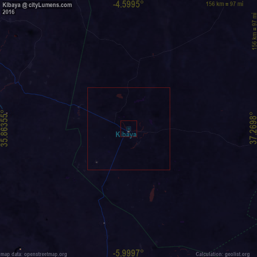
99.93%Clear (daylight) street map image can be seen on geolist.org.
Map coordinates:
4° 35' 58.2" South, 35° 51' 48.8" East
5° 18' 0" South, 36° 34' 0" East
5° 59' 58.9" South, 37° 16' 11.3" East
Some cities around Kibaya sort by population:
• Dodoma
133.3 km =82.8 mi,  223°
223°
• Geiro
100.2 km =62.3 mi,  160°
160°
• Kondoa
97.5 km =60.6 mi,  297°
297°
• Mpwapwa
117.1 km =72.8 mi,  184°
184°
• Naberera
128.9 km =80.1 mi,  18°
18°
• Kongwa
101.4 km =63 mi,  189°
189°
• Kisasa
129.6 km =80.5 mi, 221°
• Msanga
102.2 km =63.5 mi, 215°
158006 (p: 5,028)
Sources (retrieved 2019-11-25):
» Earth at Night: Flat Maps 2012, 2016