Kondoa night lights from space
Night Light of Kondoa (Dodoma) from space (Tanzania) Src. Average luminocity for 10x10km area is 5.2789% and for 50x50km: 0.2371%.
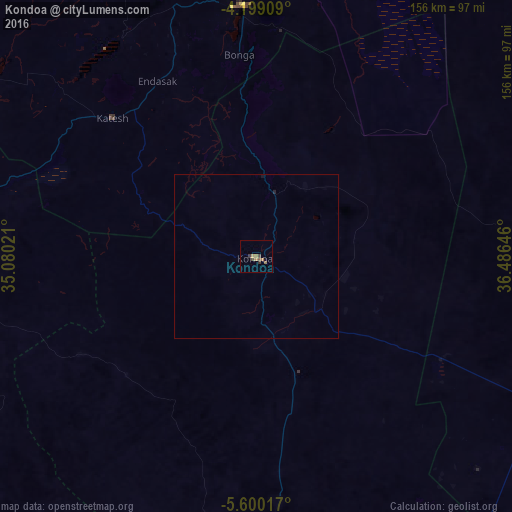
Analysis of Kondoa night lights 2016
Square area 10x10 km:
100  0%
0%
90-99 0%
80-89 0.83%
70-79 0.62%
60-69 2.07%
50-59 1.45%
40-49 1.24%
30-39 1.86%
20-29 0.21%
10-19 0.62%
0-9 91.12%
0%90-99
0%80-89
0.83%70-79
0.62%60-69
2.07%50-59
1.45%40-49
1.24%30-39
1.86%20-29
0.21%10-19
0.62%0-9
91.12%Square area 50x50 km:
100 0%
90-99 0%
80-89 0.03%
70-79 0.03%
60-69 0.09%
50-59 0.06%
40-49 0.05%
30-39 0.08%
20-29 0.04%
10-19 0.06%
0-9 99.56%
0%90-99
0%80-89
0.03%70-79
0.03%60-69
0.09%50-59
0.06%40-49
0.05%30-39
0.08%20-29
0.04%10-19
0.06%0-9
99.56%Clear (daylight) street map image can be seen on geolist.org.
Map coordinates:
4° 11' 56.7" South, 35° 4' 48.8" East
4° 54' 0" South, 35° 46' 60" East
5° 36' 0.6" South, 36° 29' 11.3" East
Some cities around Kondoa sort by population:
• Babati
76.1 km =47.3 mi,  357°
357°
• Basotu
97.6 km =60.6 mi,  307°
307°
• Dareda
80.3 km =49.9 mi,  341°
341°
• Bashanet
84.5 km =52.5 mi,  331°
331°
• Nangwa
60.7 km =37.7 mi,  322°
322°
• Galappo
70.8 km =44 mi,  5°
5°
• Endasak
61.3 km =38.1 mi, 331°
• Kibaya
97.5 km =60.6 mi,  117°
117°
156510 (p: 23,518)
Sources (retrieved 2019-11-25):
» Earth at Night: Flat Maps 2012, 2016