Ipinda night lights from space
Night Light of Ipinda (Mbeya) from space (Tanzania) Src. Average luminocity for 10x10km area is 0.4286% and for 50x50km: 0.1968%.
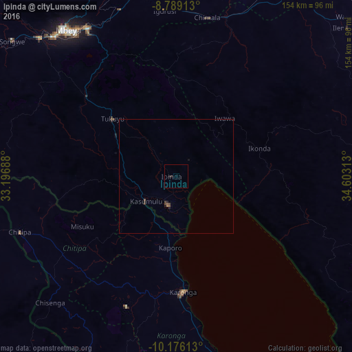
Analysis of Ipinda night lights 2016
Square area 10x10 km:
 0%
0%90-99
0%80-89
0%70-79
0%60-69
0%50-59
0%40-49
0%30-39
0%20-29
1.73%10-19
0%0-9
98.27%Square area 50x50 km:
0%90-99
0%80-89
0%70-79
0%60-69
0.03%50-59
0.1%40-49
0.08%30-39
0.07%20-29
0.13%10-19
0.09%0-9
99.49%Clear (daylight) street map image can be seen on geolist.org.
Map coordinates:
8° 47' 20.9" South, 33° 11' 48.8" East
9° 28' 60" South, 33° 54' 0" East
10° 10' 34.1" South, 34° 36' 11.3" East
Some cities around Ipinda sort by population:
• Katumba
41.7 km =25.9 mi,  311°
311°
• Karonga, MW
50.2 km =31.2 mi,  175°
175°
• Kyela
12.4 km =7.7 mi,  206°
206°
• Tukuyu
37.8 km =23.5 mi, 313°
• Kiwira
52.3 km =32.5 mi, 311°
• Masoko
23.4 km =14.5 mi,  315°
315°
• Kandete
38.7 km =24 mi,  343°
343°
• Mwaya
9.2 km =5.7 mi,  143°
143°
159107 (p: 17,775)
Sources (retrieved 2019-11-25):
» Earth at Night: Flat Maps 2012, 2016