Kyela night lights from space
Night Light of Kyela (Mbeya) from space (Tanzania) Src. Average luminocity for 10x10km area is 3.3377% and for 50x50km: 0.2005%.
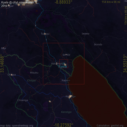
Analysis of Kyela night lights 2016
Square area 10x10 km:
100  0%
0%
90-99 0%
80-89 0%
70-79 0%
60-69 0.87%
50-59 1.73%
40-49 2.16%
30-39 0.43%
20-29 1.08%
10-19 1.52%
0-9 92.21%
0%90-99
0%80-89
0%70-79
0%60-69
0.87%50-59
1.73%40-49
2.16%30-39
0.43%20-29
1.08%10-19
1.52%0-9
92.21%Square area 50x50 km:
100 0%
90-99 0%
80-89 0%
70-79 0%
60-69 0.03%
50-59 0.1%
40-49 0.08%
30-39 0.07%
20-29 0.13%
10-19 0.11%
0-9 99.47%
0%90-99
0%80-89
0%70-79
0%60-69
0.03%50-59
0.1%40-49
0.08%30-39
0.07%20-29
0.13%10-19
0.11%0-9
99.47%Clear (daylight) street map image can be seen on geolist.org.
Map coordinates:
8° 53' 21.6" South, 33° 8' 48.8" East
9° 34' 60" South, 33° 51' 0" East
10° 16' 33.3" South, 34° 33' 11.3" East
Some cities around Kyela sort by population:
• Katumba
46.6 km =29 mi,  326°
326°
• Karonga, MW
40 km =24.9 mi,  166°
166°
• Tukuyu
43.1 km =26.8 mi, 329°
• Kiwira
56.8 km =35.3 mi,  323°
323°
• Ipinda
12.4 km =7.7 mi,  26°
26°
• Masoko
29.9 km =18.6 mi,  338°
338°
• Kandete
48.5 km =30.1 mi,  353°
353°
• Mwaya
11.6 km =7.2 mi,  71°
71°
156111 (p: 30,684)
Sources (retrieved 2019-11-25):
» Earth at Night: Flat Maps 2012, 2016