Port of Spain night lights from space
Night Light of Port of Spain from space (Trinidad and Tobago) Src. Average luminocity for 10x10km area is 72.314% and for 50x50km: 24.6142%.
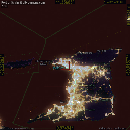
Analysis of Port of Spain night lights 2016
Square area 10x10 km:
 24.59%
90-99
21.9%80-89
9.3%70-79
4.13%60-69
4.13%50-59
8.06%40-49
6.4%30-39
5.79%20-29
10.12%10-19
5.37%0-9
0.21%Square area 50x50 km:
4.75%90-99
5.32%80-89
6.74%70-79
1.71%60-69
1.88%50-59
2.61%40-49
3.15%30-39
3.1%20-29
4.69%10-19
6.58%0-9
59.48%Clear (daylight) street map image can be seen on geolist.org.
Map coordinates:
11° 21' 24.7" North, 62° 13' 19.3" West
10° 40' 0" North, 61° 31' 8" West
9° 58' 29.8" North, 60° 48' 56.8" West
Some cities around Port of Spain sort by population:
• Chaguanas
20.1 km =12.5 mi,  146°
146°
• Arima
26.1 km =16.2 mi,  97°
97°
• Laventille
2.9 km =1.8 mi,  131°
131°
• Tunapuna
14.3 km =8.9 mi, 96°
• Paradise
17.1 km =10.6 mi, 95°
• Arouca
20.5 km =12.7 mi, 101°
• Petit Valley
4.8 km =3 mi,  319°
319°
• Diego Martin
7.9 km =4.9 mi, 319°
3573890 (p: 49,031)
Sources (retrieved 2019-11-25):
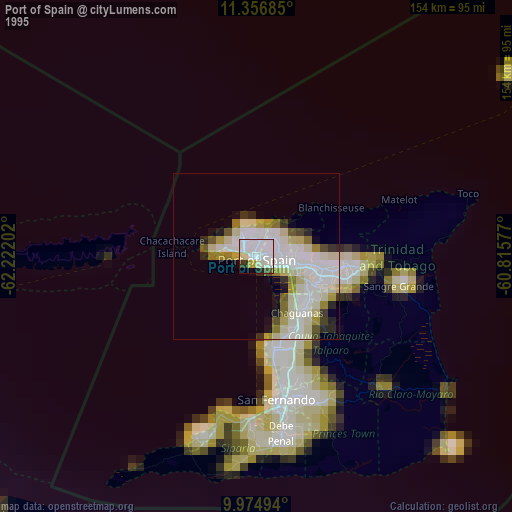
» NASA, Earths city lights 1995
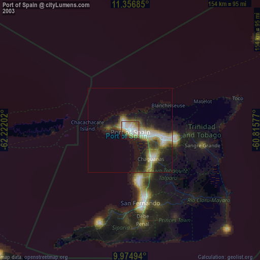
» NASA city lights 2003
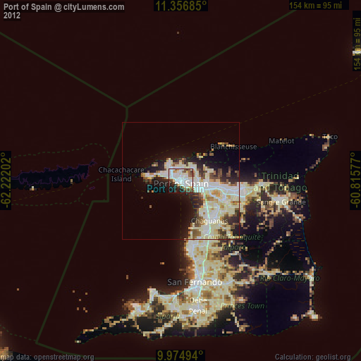
» Earth at Night: Flat Maps 2012, 2016