Arouca night lights from space
Night Light of Arouca (Tunapuna/Piarco) from space (Trinidad and Tobago) Src. Average luminocity for 10x10km area is 80.2645% and for 50x50km: 33.7634%.
Analysis of Arouca night lights 2016
Square area 10x10 km:
 22.31%
90-99
21.28%80-89
25%70-79
6.82%60-69
2.07%50-59
7.02%40-49
5.58%30-39
5.99%20-29
3.93%10-19
0%0-9
0%Square area 50x50 km:
5.78%90-99
6.54%80-89
9.76%70-79
2.63%60-69
2.53%50-59
3.48%40-49
4.9%30-39
5.44%20-29
7.48%10-19
9.07%0-9
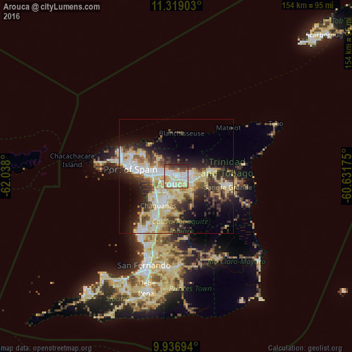
42.38%Clear (daylight) street map image can be seen on geolist.org.
Map coordinates:
11° 19' 8.5" North, 62° 2' 16.8" West
10° 37' 43.6" North, 61° 20' 5.5" West
9° 56' 13" North, 60° 37' 54.3" West
Some cities around Arouca sort by population:
• Chaguanas
15.3 km =9.5 mi,  215°
215°
• Port of Spain
20.5 km =12.7 mi,  281°
281°
• Arima
5.8 km =3.6 mi,  80°
80°
• Laventille
18.1 km =11.2 mi, 277°
• Tunapuna
6.5 km =4 mi,  294°
294°
• Sangre Grande
22.9 km =14.2 mi,  101°
101°
• Paradise
4.1 km =2.5 mi,  311°
311°
• Petit Valley
24.5 km =15.2 mi, 288°
3575039 (p: 12,054)
Sources (retrieved 2019-11-25):
» Earth at Night: Flat Maps 2012, 2016