Yahyalı night lights from space
Night Light of Yahyalı (Kayseri) from space (Turkey) Src. Average luminocity for 10x10km area is 12.8977% and for 50x50km: 1.5433%.
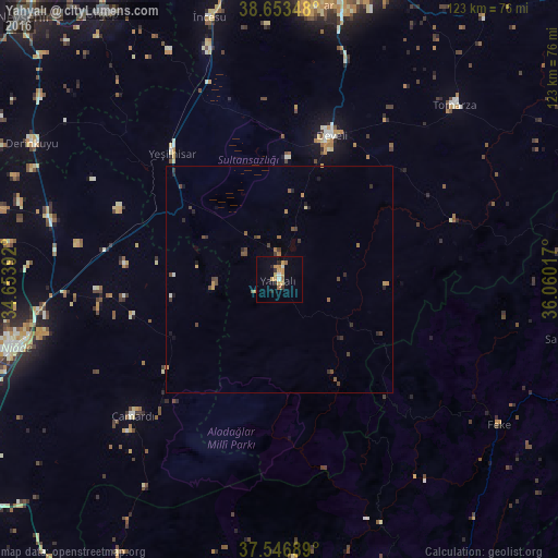
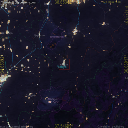
Analysis of Yahyalı night lights 2016
Square area 10x10 km:
 0.97%
0.97%90-99
0.97%80-89
0.32%70-79
6.33%60-69
2.11%50-59
0.65%40-49
0%30-39
1.3%20-29
2.44%10-19
1.46%0-9
83.44%Square area 50x50 km:
0.04%90-99
0.09%80-89
0.05%70-79
0.4%60-69
0.25%50-59
0.23%40-49
0.46%30-39
0.34%20-29
0.4%10-19
0.3%0-9
97.42%Clear (daylight) street map image can be seen on geolist.org.
Map coordinates:
38° 39' 12.5" North, 34° 39' 14.1" East
38° 6' 8.2" North, 35° 21' 25.3" East
37° 32' 48.8" North, 36° 3' 36.6" East
Some cities around Yahyalı sort by population:
• Niğde
61.3 km =38.1 mi,  255°
255°
• Develi
34.2 km =21.3 mi,  20°
20°
• Hacılar
61 km =37.9 mi,  7°
7°
• Yeşilhisar
36.4 km =22.6 mi,  319°
319°
• Derinkuyu
62.3 km =38.7 mi,  299°
299°
• Tomarza
54.4 km =33.8 mi,  45°
45°
• Aladağ
61.7 km =38.3 mi,  176°
176°
• Saimbeyli
65.5 km =40.7 mi,  101°
101°
297917 (p: 25,019)
Sources (retrieved 2019-11-25):
» Earth at Night: Flat Maps 2012, 2016